Skip to main content
Side panel
OCWGIS
Home
More
English (en)
English (en)
Español - Internacional (es)
Français (fr)
Italiano (it)
Nederlands (nl)
Português - Portugal (pt)
العربية (ar)
فارسی (fa)
हिंदी (hi)
日本語 (ja)
简体中文 (zh_cn)
Log in
OCWGIS
Home
Expand all
Collapse all
Open course index
Course information
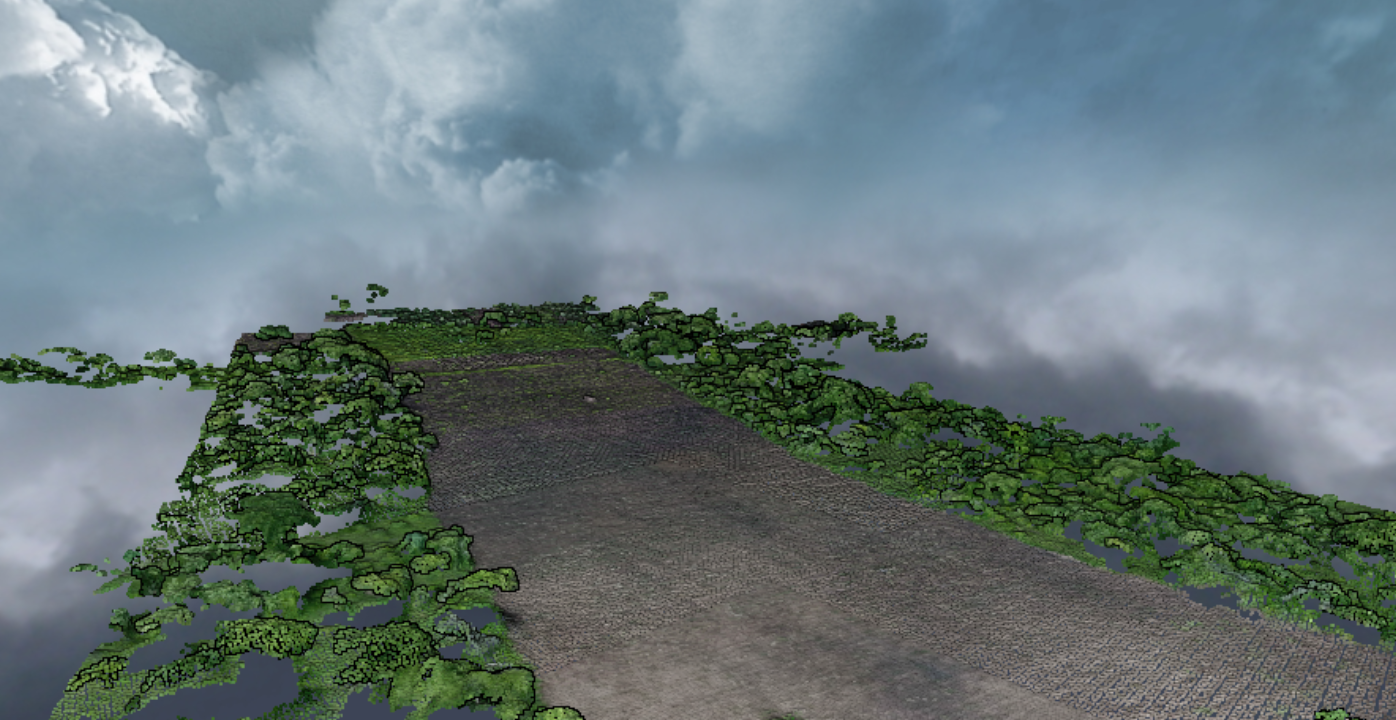
Processing drone images with WebODM
Learn how to create orthophotos, point cloud and DSM from drone images.
Skill Level
:
Beginner