跳到主要内容
停靠面板
OCWGIS
首页
日程管理
更多
简体中文 (zh_cn)
English (en)
Español - Internacional (es)
Français (fr)
Italiano (it)
Nederlands (nl)
Português - Portugal (pt)
العربية (ar)
فارسی (fa)
हिंदी (hi)
日本語 (ja)
简体中文 (zh_cn)
您正在用访客帐号访问
登录
OCWGIS
首页
日程管理
Processing drone images with WebODM
全部折叠
展开全部
打开课程索引
课程信息
Processing drone images with WebODM
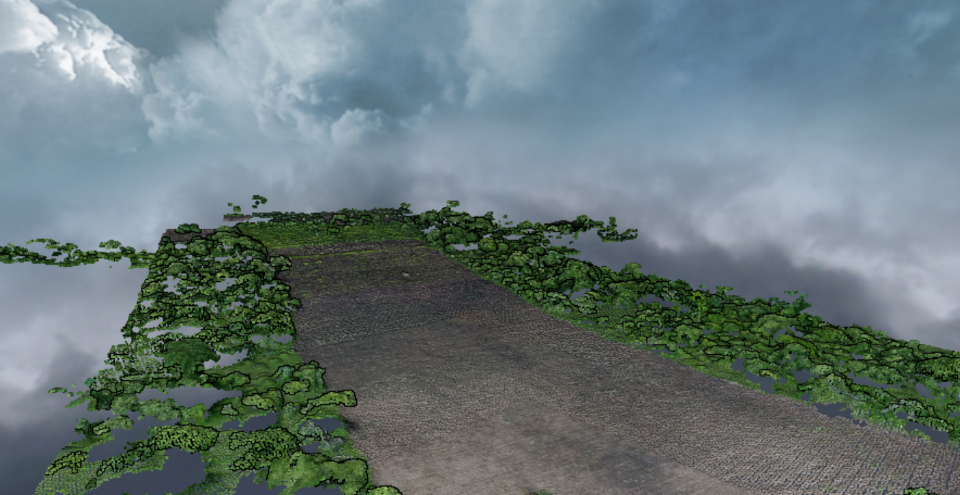
Learn how to create orthophotos, point cloud and DSM from drone images.
Skill Level
:
Beginner