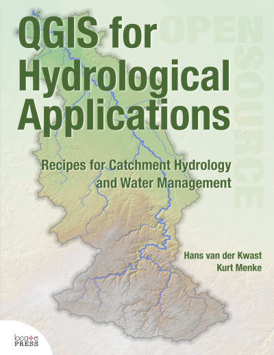
GIS for Hydrological Applications
الخطوط العريضة للقسم
-
This course introduces professionals in the water sector to the state of the art functionality of QGIS 3.x for hydrological applications.
After this course you'll be able to:
Understand the basic concepts of GIS Raster, vector, projections, geospatial analysis Use a GIS for:
- Thematic mapping
- Basic data processing and editing
- Basic geoprocessing and analysis
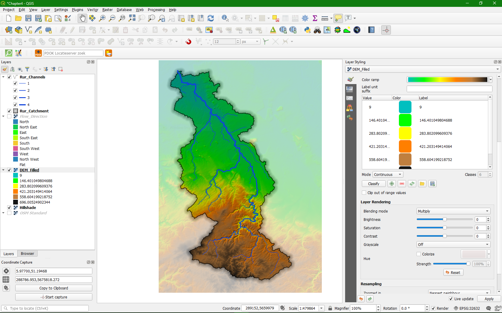
- DEM processing and catchment delineation
- Find open source software and open data