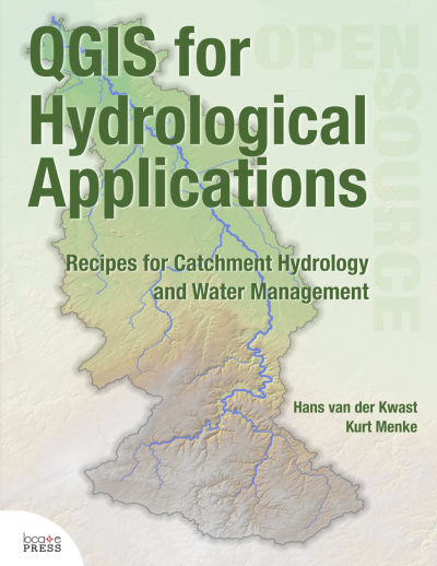
GIS for Hydrological Applications
Section outline
-

-
QGIS for Hydrological Applications
Recipes for Catchment Hydrology and Water Management
by Hans van der Kwast and Kurt Menke
Learn GIS skills for catchment hydrology and water management with QGIS for Hydrological Applications!
This workbook introduces professionals in the water sector to the state of the art functionality of QGIS 3.x for hydrological applications. The book can also be used as a beginner’s course introducing GIS concepts in a problem based learning manner.
Designed to take advantage of the latest QGIS features, this book will guide you in improving your maps and analysis.
With this book you'll learn to:
- Georeference scanned maps
- Digitize vectors
- Import tabular data
- Join attribute tables
- Interpolate points to a raster
- Apply map algebra
- Delineate streams and catchments
- Find and use Open Data
- Calculate the percentage of land cover per subcatchment
- Design beautiful catchment maps
In addition to the core functionality of QGIS, you’ll be introduced to many useful plugins.
The book is a complete resource and includes:
- Lab exercises
- Discussion questions
- Links to videos with theory and explanations of the exercises
By purchasing the book you support the attendance of students at FOSS4G and QGIS events.
-