GIS for Hydrological Applications
Section outline
-
-
Students mustMark as done
We also offer face to face trainings, guided and self-paced online courses as well as tailor made trainings for you and your organisation.
-
Students mustMark as done
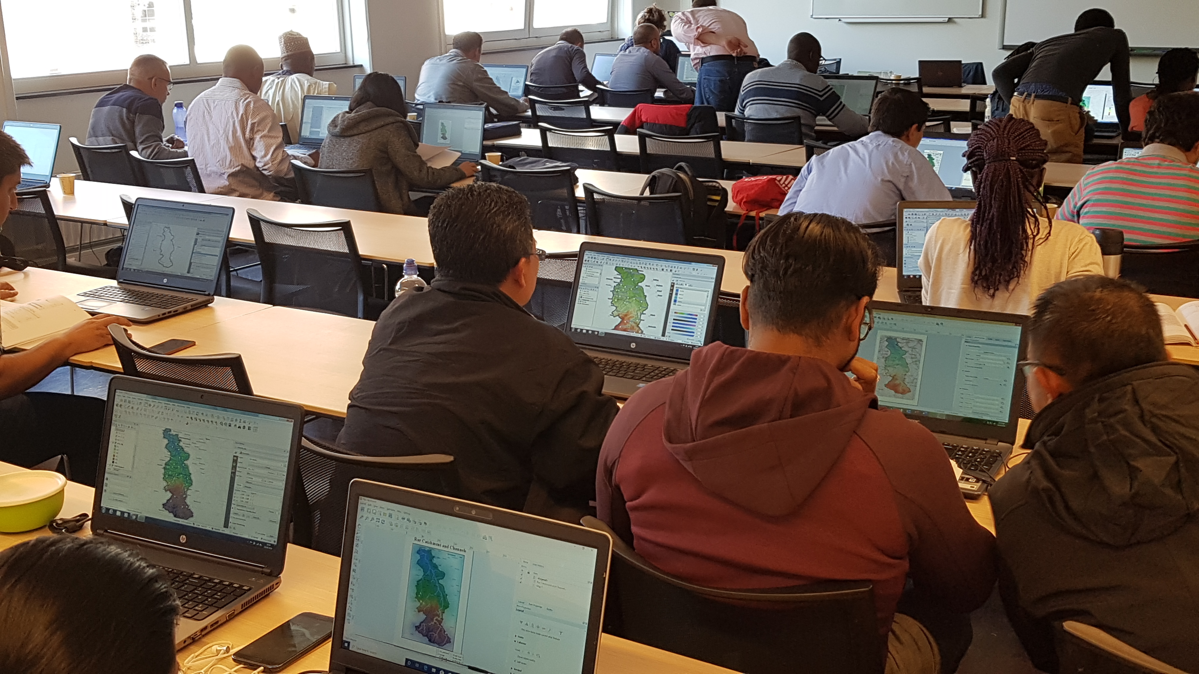
- Face-to-face
- At IHE Delft
- Includes IHE Delft certificate and official QGIS certificate
-
Students mustMark as done
Self-paced Online Course QGIS for Hydrological Applications
(To be announced)- Interactive self-paced online course
- Support via forum
- Includes the official QGIS Certificate
-
Students mustMark as done
- Online self-paced course
- Official QGIS certificate included
- Support via forum
-
Students mustMark as done
IHE Delft provides Tailor-made training and advisory services according to your requirements.Tailor-made training caters directly to the needs of each client. This means that courses can be organized for groups of various sizes, from one or several organizations, sectors or regions. They can be designed to upgrade knowledge and skills, to introduce new technologies, or to strengthen sector performance, to name but a few options.
-