Tutorial: Create a groundwater level map from borehole data and a DEM
12. Calculate the groundwater level in the boreholes
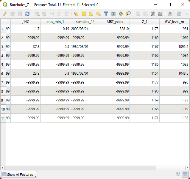
In the attribute table of the boreholes we have the depth to the water table.
In this section we're going to calculate the absolute elevation of the water level in the boreholes.
1. Open the attribute table of Boreholes_Z.
2. Click  to toggle to editing mode.
First we're going to delete the features with missing data for depth in the depth_m field.
3. Click  to open the Select features using an expression dialogue.
4. Build the following expression
"depth_m" < 0

5. Click Select Features. Click Close to close the dialogue.
6. Click  to delete the selected features.
7. Click  to save the edits until now.
8. Click  to open the Field calculator dialogue.
9. In the Field Calculator dialogue Create a new field with the Output field name GW_level_m and Output field type Decimal number (real). Keep the other settings as default and type the following expression:
"elevation" - "depth_m"
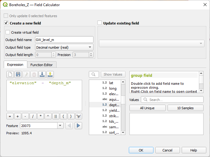
10. Click OK.
11. Check the results and click to toggle off editing. Click Save to save the results.