Hand in Hand Tutorial
2. Tutorial on Utilizing WaPOR Data in the HiH Geospatial Platform
2.1. Portal Navigation
Go to the website data.apps.fao.org, and the website will appear as shown below.
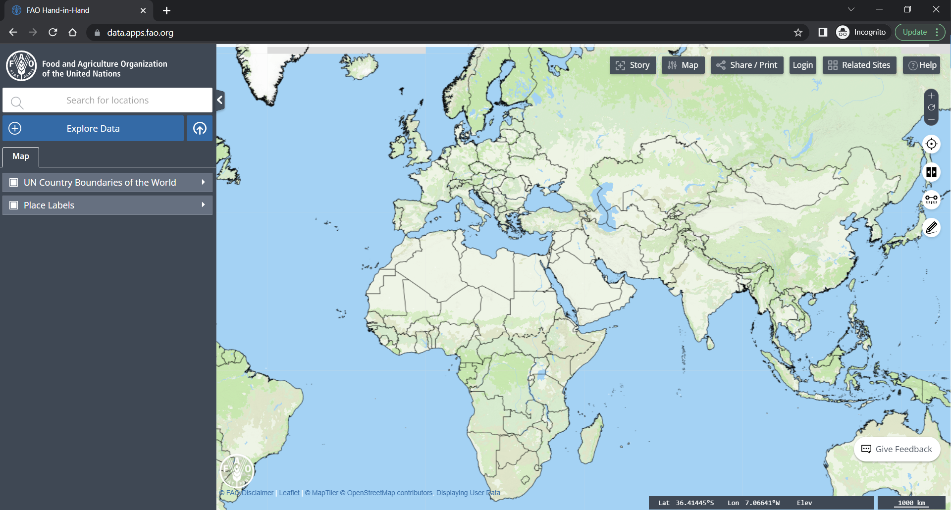
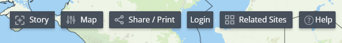
Using the options on the right, you can customize the map, add a story, and log in or create an account to save your data for future use.
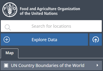
You can find the Explore Data option on the left side of the page, along with the search bar to look for specific locations.
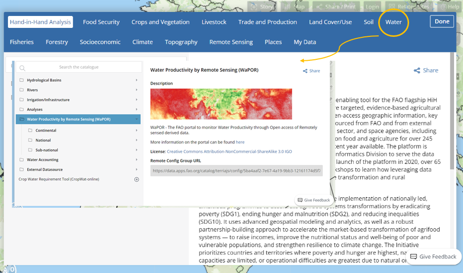
The WaPOR database is accessible through this platform at three distinct levels: Continental (250m), National- (100m) , and Sub-national (30m) that can be utilized to retrieve water productivity data.
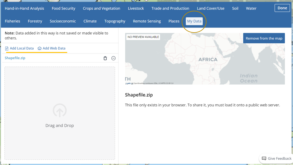
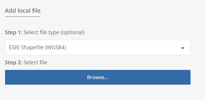
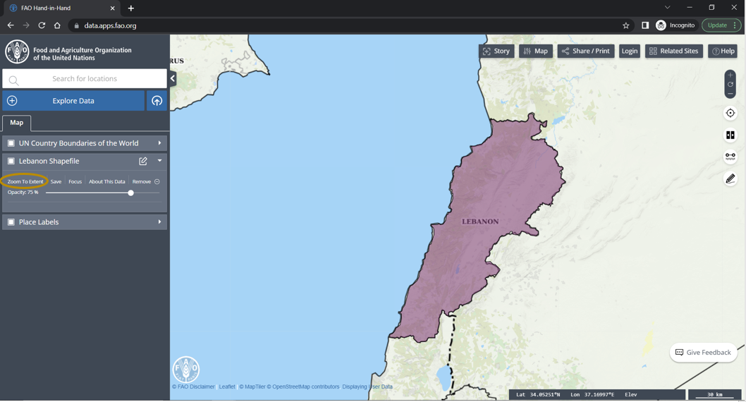
To upload a local file, please select the appropriate category and upload it from your personal computer. As an example, I have uploaded the country Shapefile of Lebanon, which is displayed on the map.
To view the uploaded shapefile, click on "Zoom to Extend".
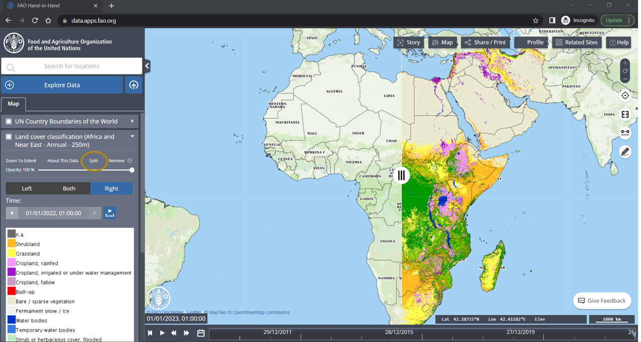
The "Split" option shown below is an useful tool that allows for easy comparison of maps.
With the option ![]() you can measure the distance between location.
you can measure the distance between location.
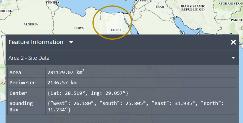
This option![]() allows you to draw and measure an area that can be saved and utilized for future analysis.
allows you to draw and measure an area that can be saved and utilized for future analysis.
Please refer to the video below for step-by-step instructions.