Tutorial: Stream and Catchment Delineation
8. Delineate Streams
8.3. Calculate Channel Network
The next step is to calculate the channel network.
- In the Processing Toolbox, go to Raster terrain analysis | Channel network and drainage basins from multiple inputs.

2. In the dialog, choose dem_filled for the Elevation raster, flowdirections for the Flow direction raster, strahler for the Strahler order raster and the minimum treshold value that you found, for example 8, for the Minimum stream order threshold.
3. Only save the Channels result. Save it as channels.gpkg.
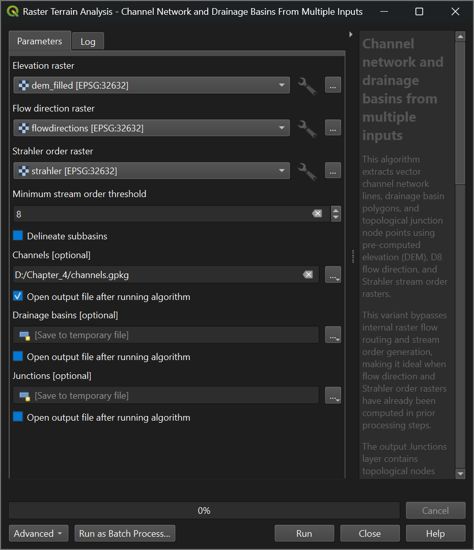
4. Click Run. Click Close after processing.
Next, we'll style the channels.