Tutorial: Introduction to FAO WaPOR data
| Site: | OpenCourseWare for GIS |
| Course: | Enhancing Water Productivity with WaPOR: A Hands-On Workshop Using WaPLUGIN in QGIS |
| Book: | Tutorial: Introduction to FAO WaPOR data |
| Printed by: | 访客用户 |
| Date: | Saturday, 20 June 2026, 12:19 AM |
1. WaPOR Versions
There are two version of the WaPOR datasets. Each version has its own methodology and input data.
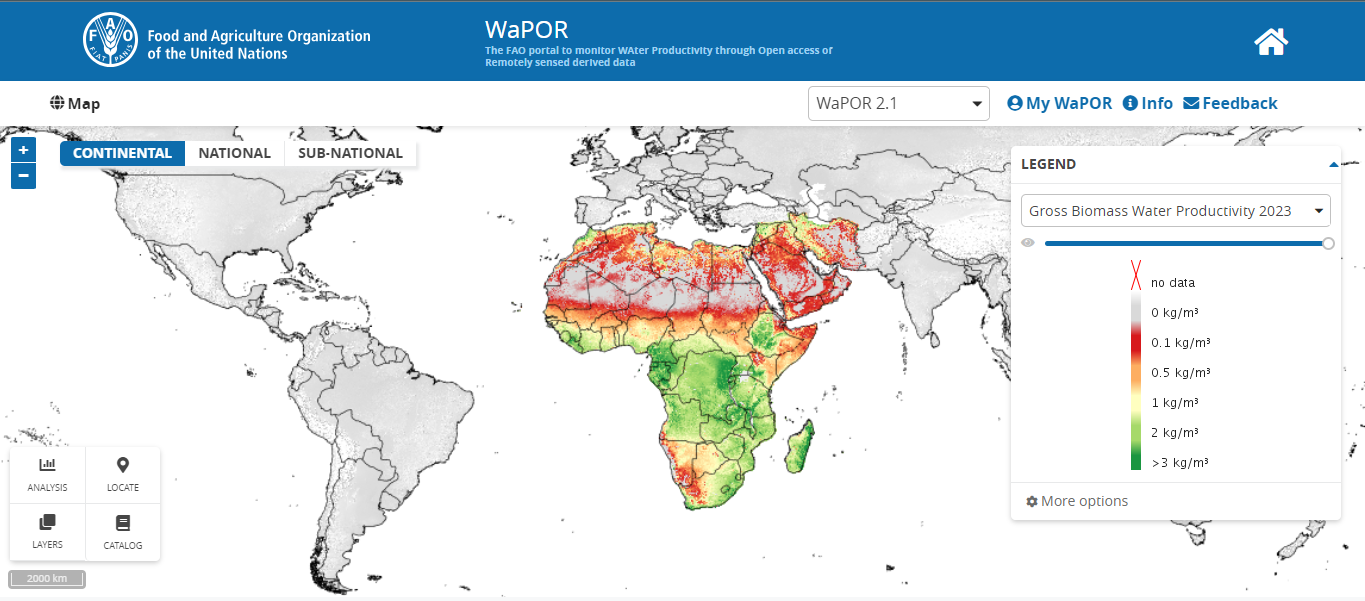
WaPOR V2: data available from 2009 to 2023 covering Africa and Middle East. Available at this website : https://wapor.apps.fao.org/profile/deprecated.
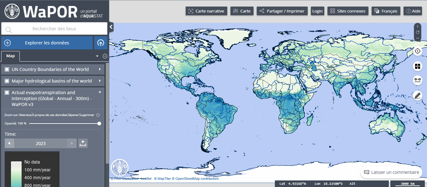
WaPOR V3 : New methodology data available from 2018 til now with a global coverage. Available at this website: https://data.apps.fao.org/wapor/.
2. Data description
Spatial resolution: WaPOR data is available to users at 3 different levels corresponding to different resolutions at which different applications for the data are possible.
| Aspect | WaPOR V2 | WaPOR V3 |
|---|---|---|
| Global Coverage | No global coverage (only Africa and the Middle East) | Global coverage at 300m resolution |
| Continental Level (L1) | Covers Africa and the Middle East at 250m resolution | Global coverage at 300m resolution |
| National Level (L2) | Selected countries in Africa and the Middle East at 100m resolution | National coverage for Africa, the Middle East, Sri Lanka, and Colombia at 100m resolution |
| Sub-national Level (L3) | Specific irrigation schemes at 30m resolution | Sub-national irrigation schemes at 20m resolution |
| Temporal Resolution | Data available at daily, dekadal (10-day), monthly, seasonal, and annual intervals | Similar temporal resolution, but more refined data processing methodologies |
| Time Span | 2009-2023 | 2018 to present (with updates and improvements) |
3. Resources
If you want to learn more about FAO WaPOR datasets and how they are used worldwide to assess water use in irrigation, you can follow these links:
IHE Delft Institute for Water Education Open Courseware Platform: