Tutorial: WebODM
Completion requirements
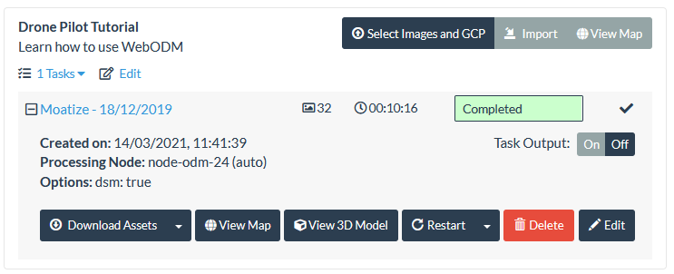
9. Viewing results in WebODM in 2D
9.1. View orthophoto
Let's first have a look at the produced orthophoto.
1. Click View Map.
The WebODM interface now shows the orthophoto with Google Maps Hybrid as a backdrop:
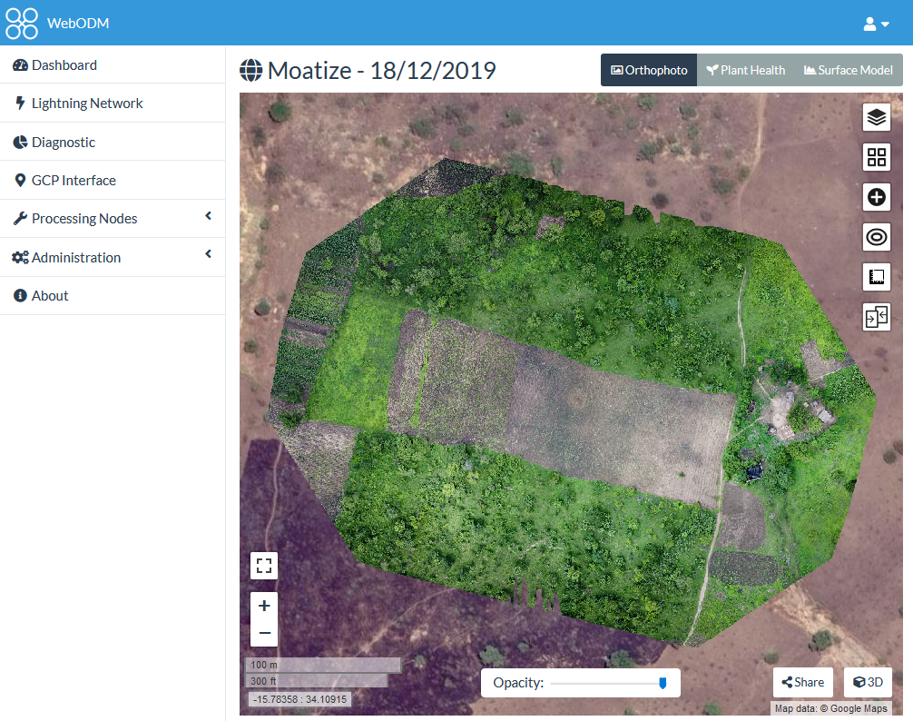
2. Inspect the results by:
- Changing the Opacity with the slider at the bottom of the screen.
- Compare the results with different base maps using the
 icon from the panel on the right of the screen.
You'll
see that the ESRI Satellite image is not available for this area and
OSM Mapnik (OpenStreetMap) has not much information either. So we can
only compare with the Google Maps Hybrid layer.
3. Zoom in an compare the resolution of the backdrop with the drone derived orthophoto. Which one is more detailed?
In the next section we're going to add a polygon with our area of interest.