メインコンテンツへスキップする
サイドパネル
OCWGIS
Home
さらに
日本語 (ja)
English (en)
Español - Internacional (es)
Français (fr)
Italiano (it)
Nederlands (nl)
Português - Portugal (pt)
العربية (ar)
فارسی (fa)
हिंदी (hi)
日本語 (ja)
简体中文 (zh_cn)
ログイン
OCWGIS
Home
すべてを展開する
すべてを折りたたむ
コースインデックスを開く
コース情報
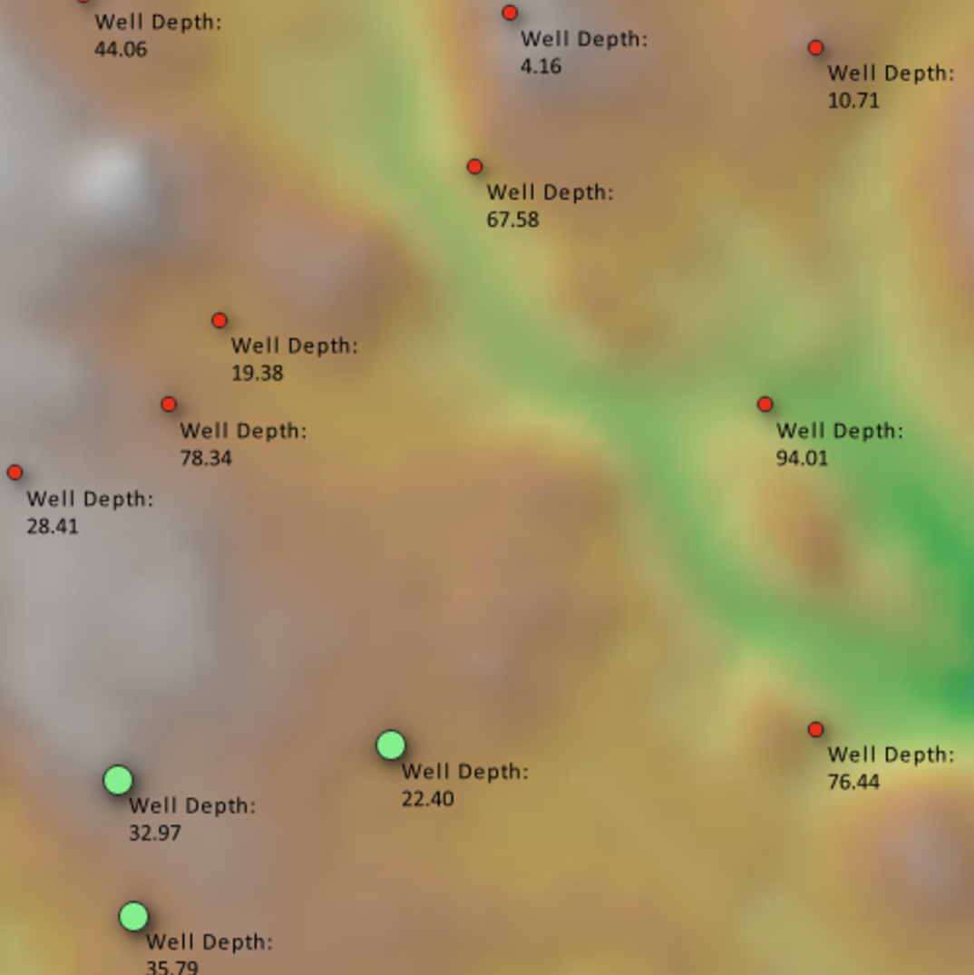
GIS training for Hydrogeological Applications
Learn how to use GIS for groundwater studies.
教師:
van der Kwast Hans
Skill Level
:
Beginner