Tutorial: Field surveys using Mergin Maps
4. Capturing data and editing forms using Input
Accessing projects
1. Install the Input app from Google Play Store.
Once you open the application for the first time, it will take you to Home screen. This screen displays all the projects stored locally (under /sdcard/INPUT folder).
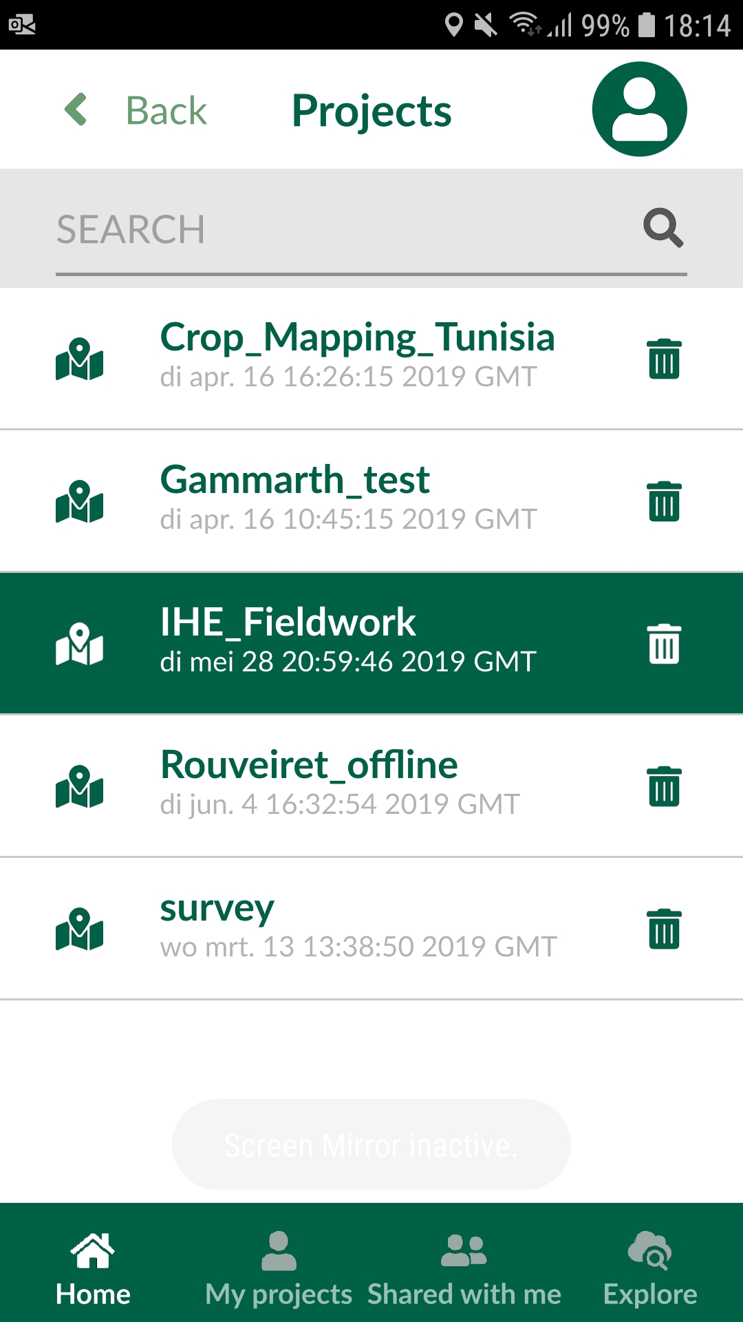
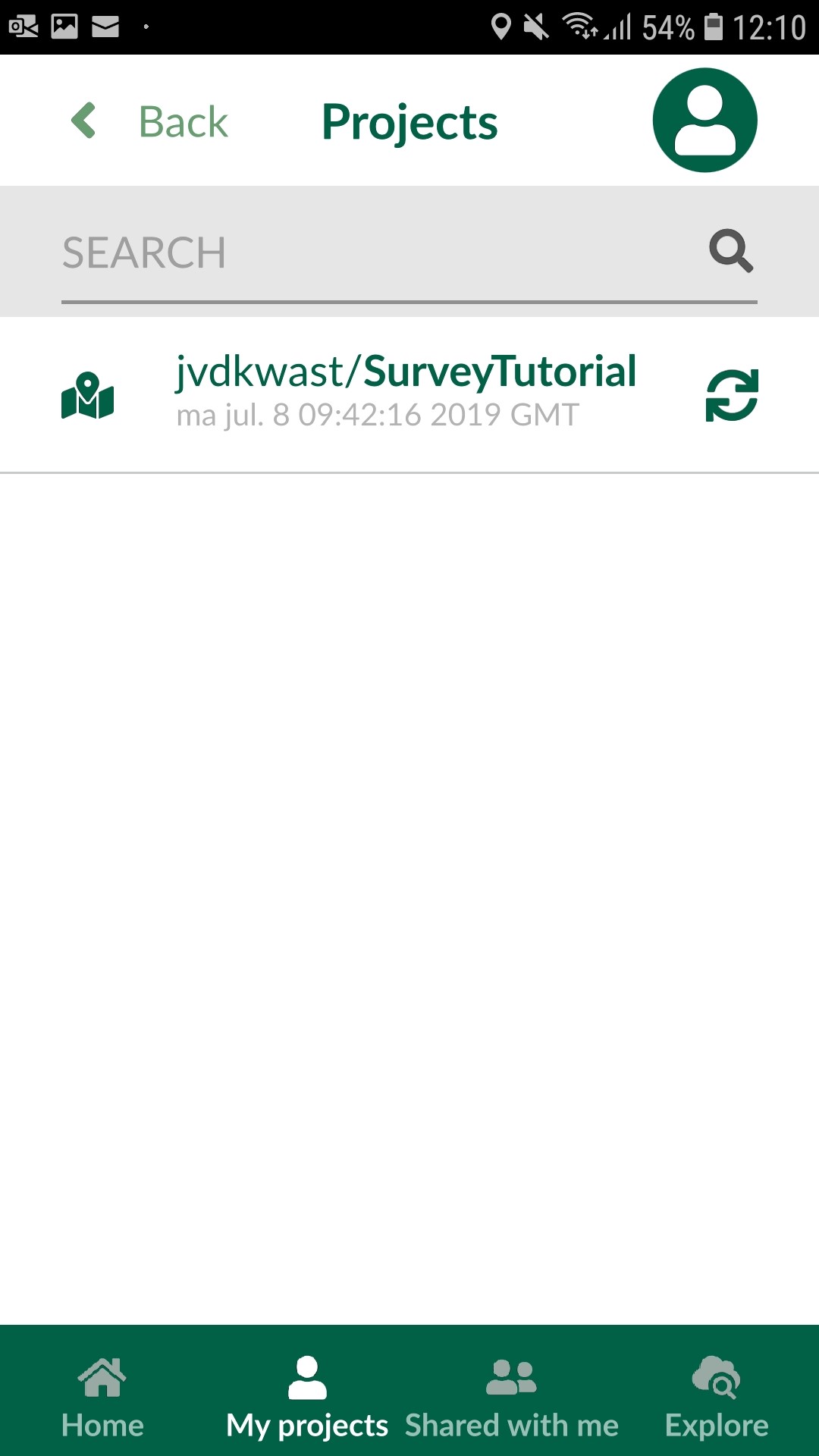
2. To access your projects on the Mergin cloud, select My projects. You will need your log in details to sign in to Mergin:
Once logged in, you can download your project to work on it locally by pressing download button to the right of the project.
3. Download the survey project from the previous sections by tapping the cloud with the downward arrow.
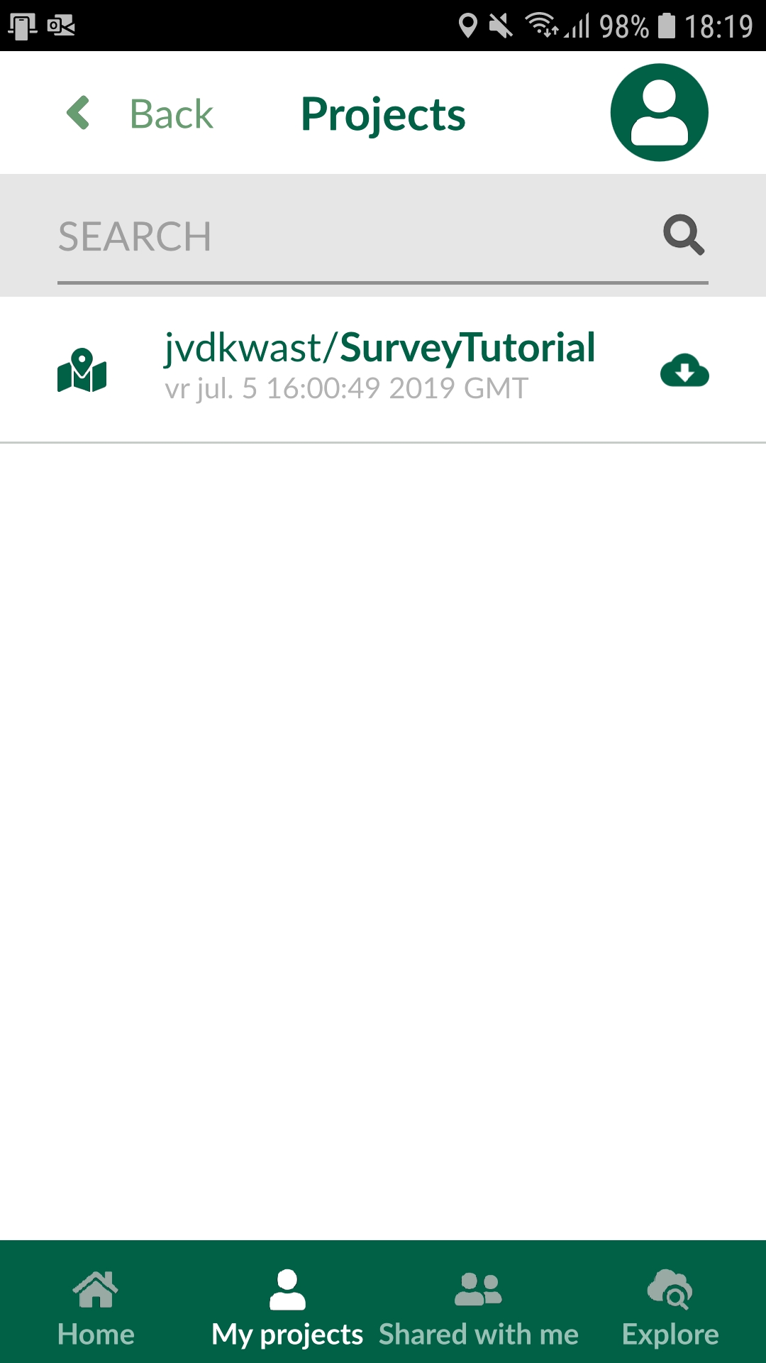
The project will be available for loading in Input after you download it locally.
4. Select Home and you should be able to see your downloaded project:
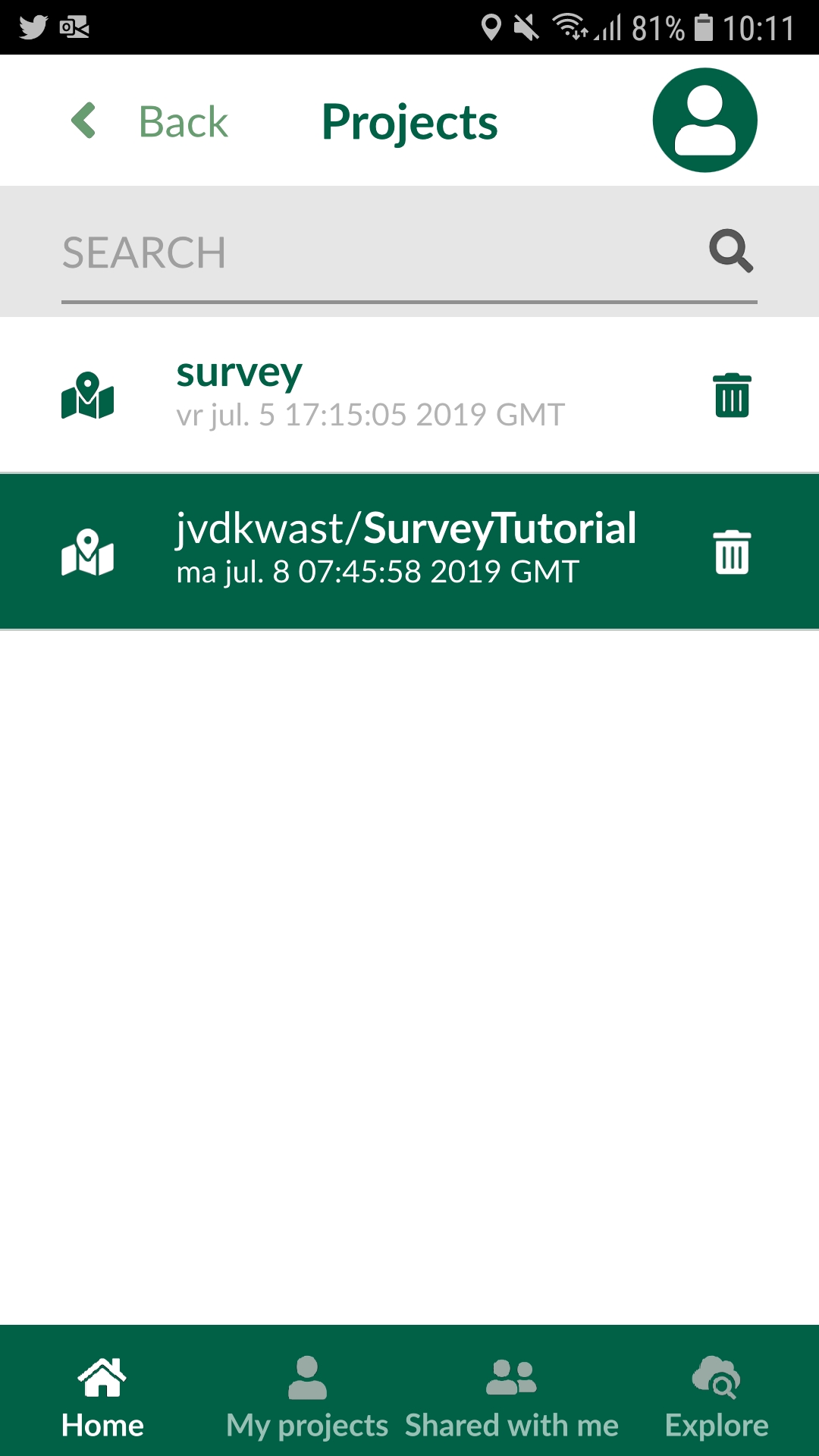
5. Tap the project under to open it in Input.
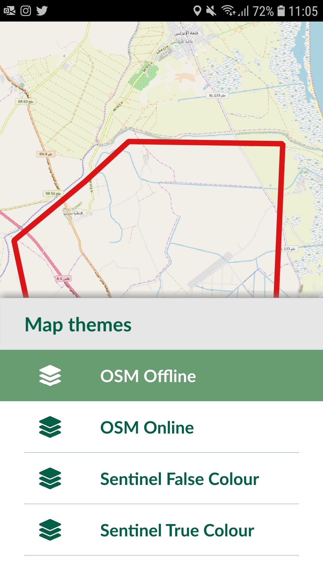
You'll now see one of the map themes.
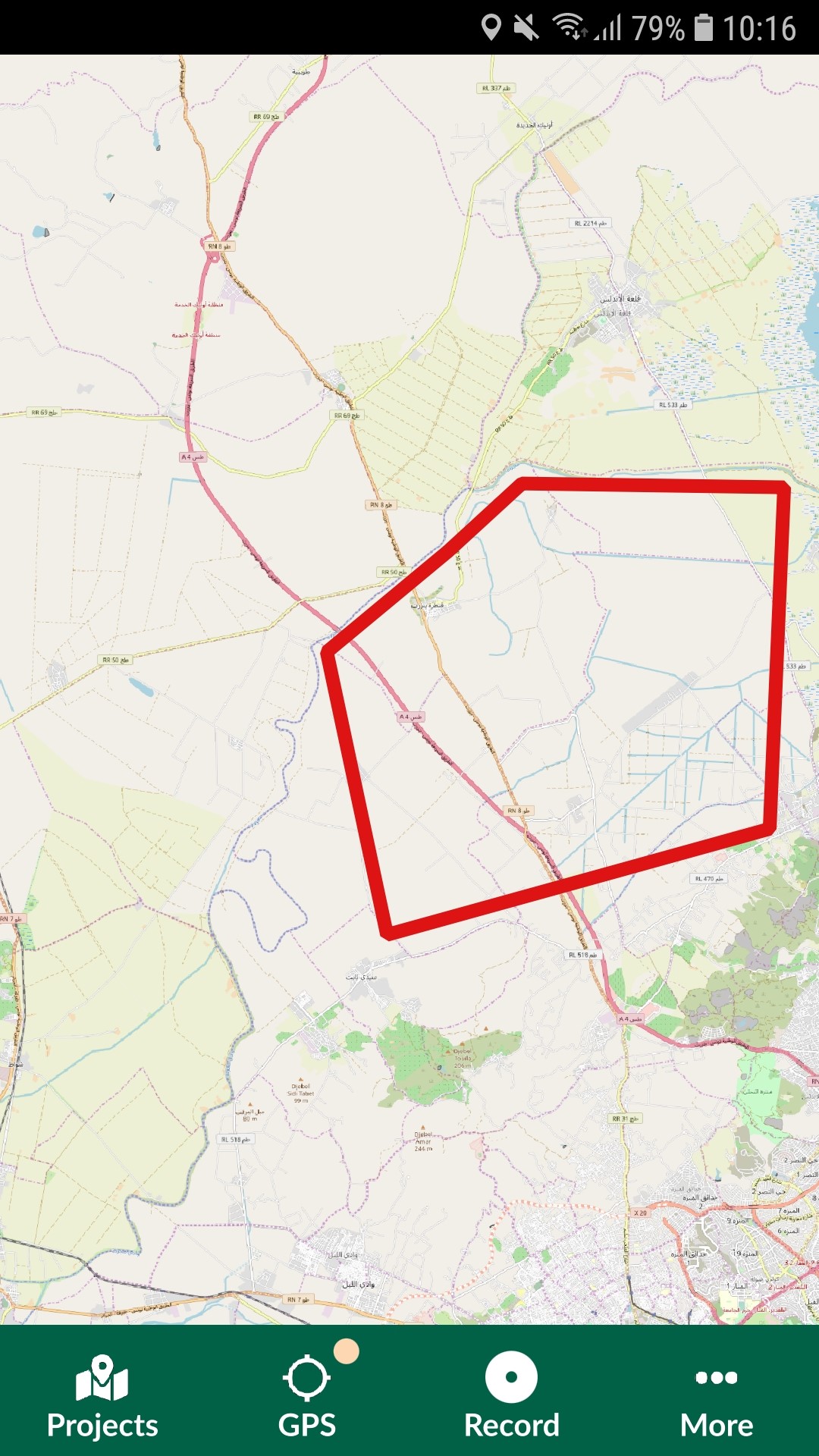
Change background layers
Adding/editing features
10. To add a feature, tap the Record button from the lower panel. When you tap on the record button, it will list all the
layers, you can edit. In our case that's only the Groundtruth layer.
In Input, you have two modes to capture feature:
-
GPS location or streaming (if you are capturing lines/areas)
-
Free hand: by adding points or nodes to lines or areas
Capturing points
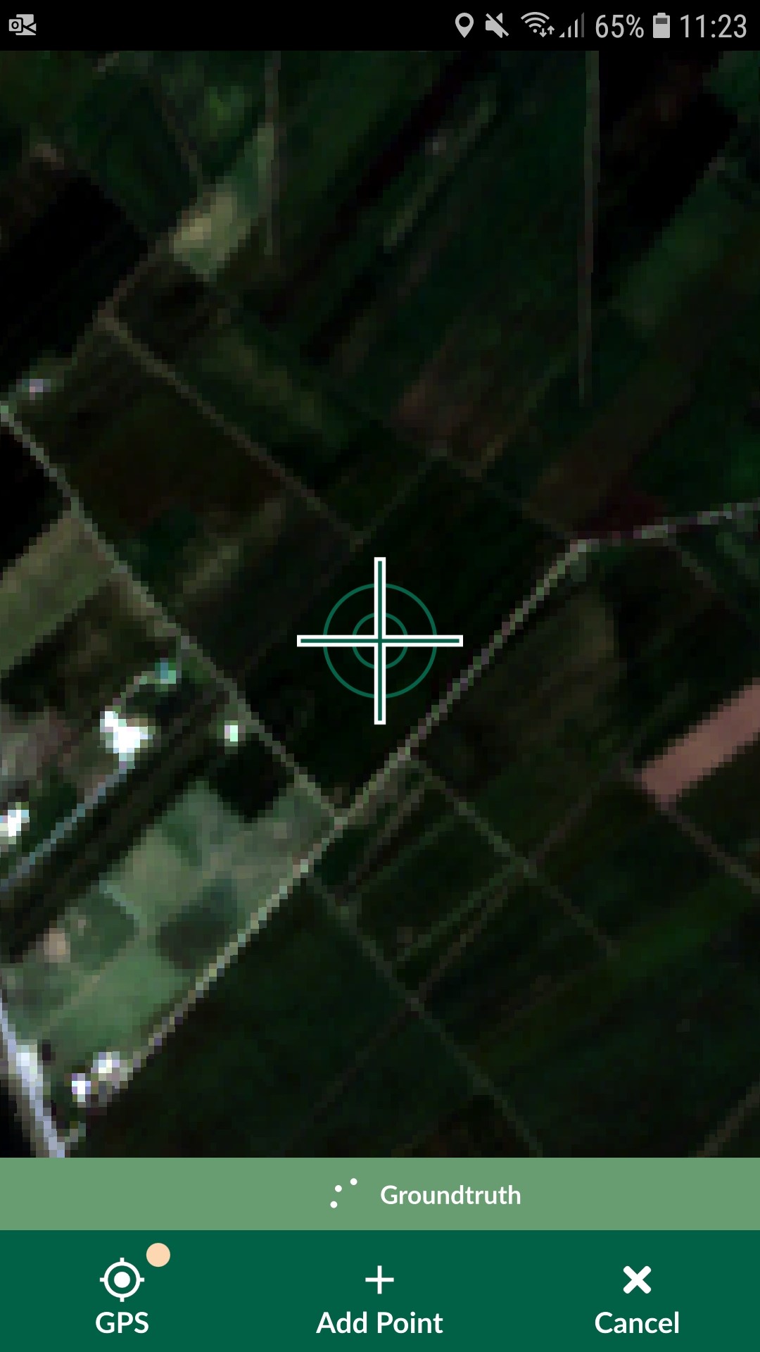
Our survey layer is a point layer, it will show a cross-hair at your GPS location.
11. Move the map to the parcel that you are observing and tap Add Point . The point
below the cross-hair will be used as the recorded location. You can move
back to your location if needed, by tapping GPS
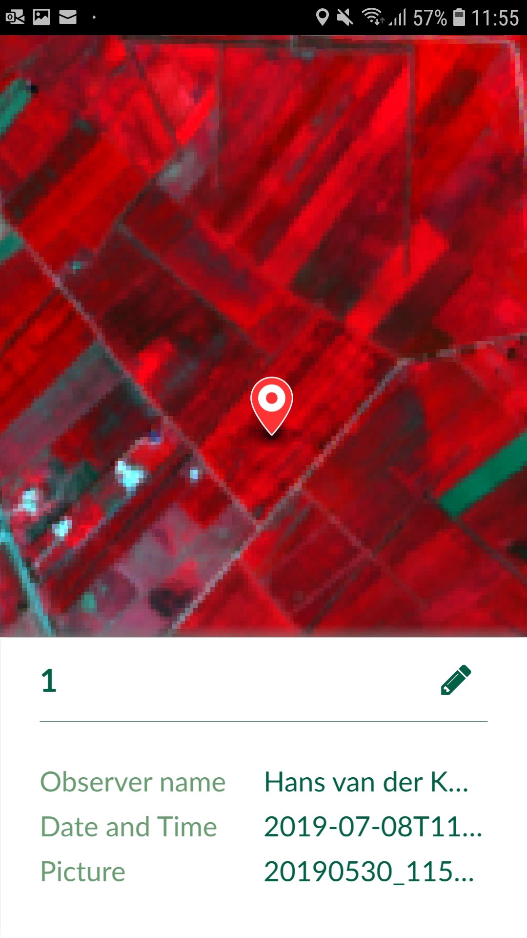
. If needed you can switch to other Map themes to better orient yourself.
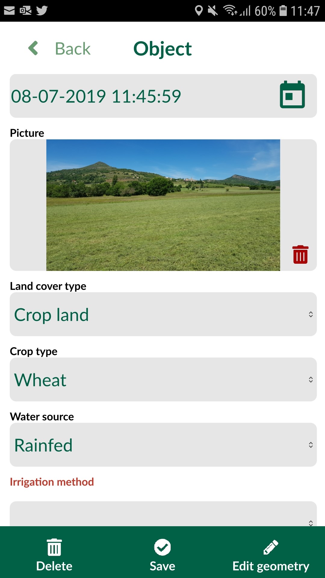
Edit captured points
Synchronisation of data/ projects
Download the data into QGIS
Now we want to further process the data in QGIS.Capturing lines or areas
If your survey layer is a line or area, the panel at the bottom changes to a figure similar to the one below:

You can:
-
Use Add point
to define the shape of your line or area manually by navigating through the map
-
If you want to stream the GPS to shape your line or area, press and hold GPS button
on the bottom left corner.
Once finished, press Done. If your feature is an area, it will join the last point to the first point to close the shape.