Symbolizing Points by Varying Size
2. Download Open Data from Natural Earth
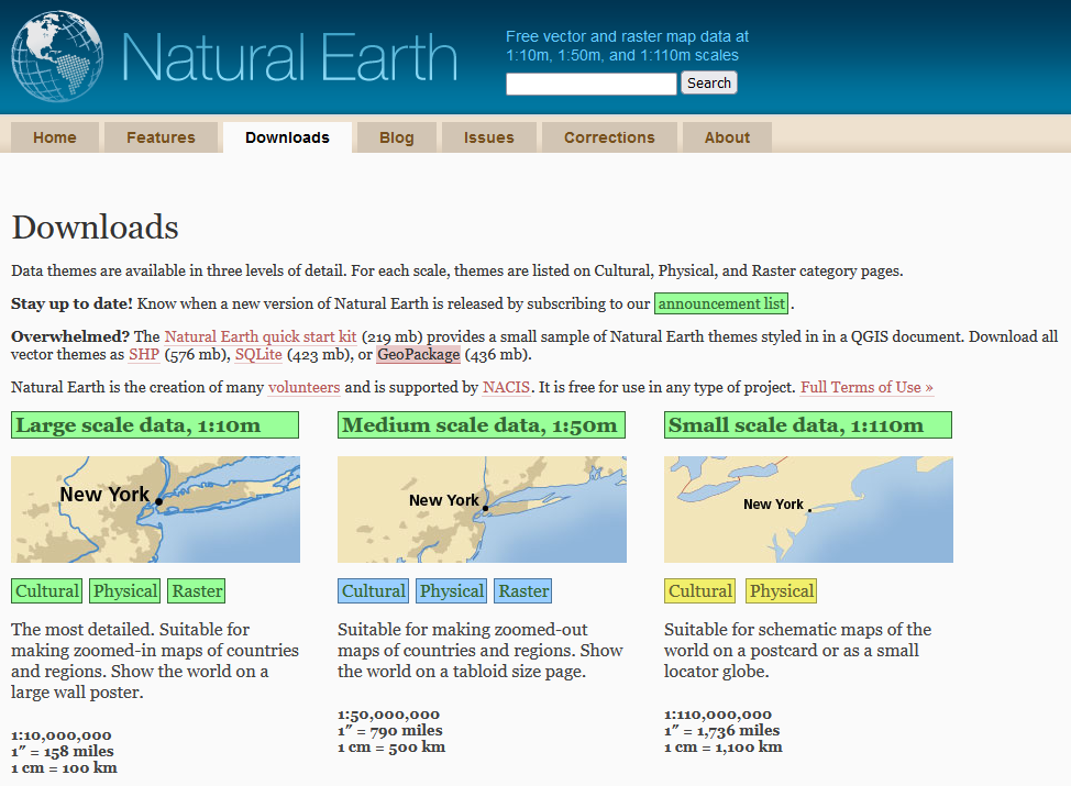
Let's download the open data for this tutorial from Natural Earth. Natural Earth is a public domain dataset with vector and raster data that you can freely use to create maps.
1. In your internet browser go to the Natural Earth website: https://www.naturalearthdata.com/.
2. Go to the Downloads tab.
3. Download the GeoPackage to a folder on your hard drive where you want to work for this tutorial. Remember that you shouldn't use spaces, minus or other strange characters in the folder and file names.
The downloaded file is a ZIP file, which means it's compressed and you need to unzip it before you can use it.
4. Extract the file (e.g. with 7-Zip).
5. Start QGIS Desktop with an empty project.
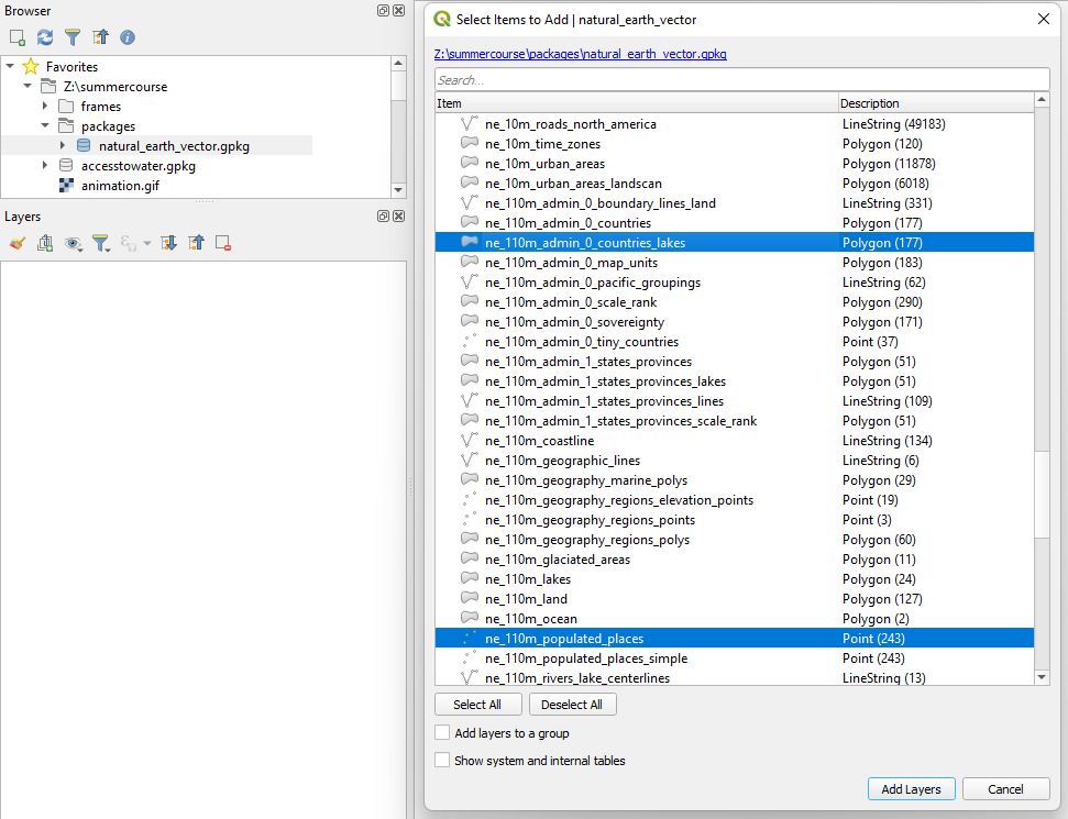
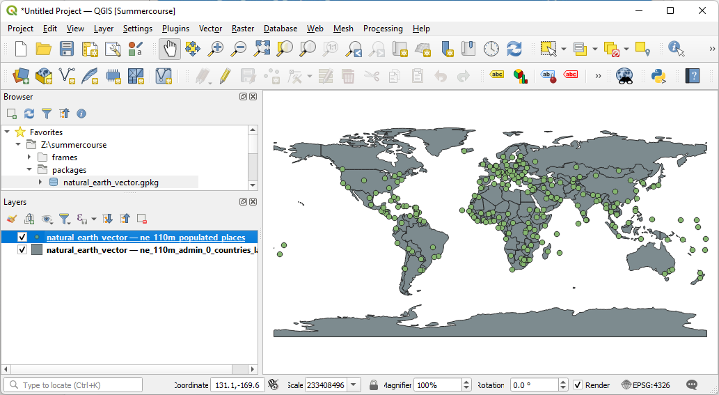
6. In the Browser panel go to the packages subfolder that you extracted and drag natural_earth_vector.gpkg to the map canvas.
A popup will show to select the layers that you want to load.
7. Only load the following layers by selecting them with the Ctrl button pressed and click Add layers.
- ne_110m_admin_0_countries_lakes
- ne_110m_populated_places