Create an Animated Choropleth Map
2. Prepare the World Map
First we need to have a world map with country boundaries. There are many resources for country boundaries. In QGIS you can type world in the Coordinate field and it will load a world map with boundaries provided by Natural Earth. There are unfortunately many disputed borders, so it is safer to use the UN world map. Let's add the map to QGIS.
1. Start a new project in QGIS Desktop.
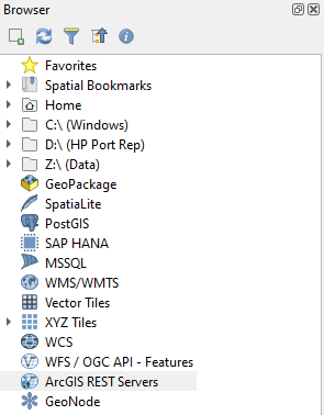
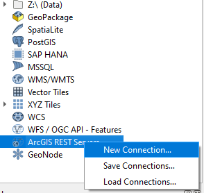
2. In the Browser panel right-click on ArcGIS REST Servers.
This is used, because the data is on an ArcGIS server, which can be accessed through QGIS with an internet connection. Let's setup the connection.
3. Choose New Connection...
4. Name the connection UN Boundaries and add the following URL: https://geoservices.un.org/arcgis/rest/services/ClearMap_WebTopo/MapServer
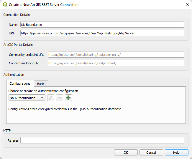
5. Keep the rest as default and click OK.
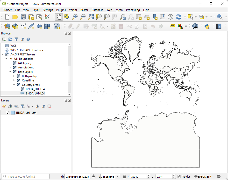
6. Expand the ArcGIS REST Servers section in the Browser panel by clicking the little triangle. Next expand UN Boundaries, Base Layers and Country Areas.

7. Drag the BNDA_L01-L04 polygon layer to the map canvas.
It will take some time to load. Now your map canvas looks like this:
The layer is an online layer. To process is further we need to store it.
8. Right-click on the BNDA_L01-L04 layer in the Layers panel and in the context menu choose Export | Save Features As...
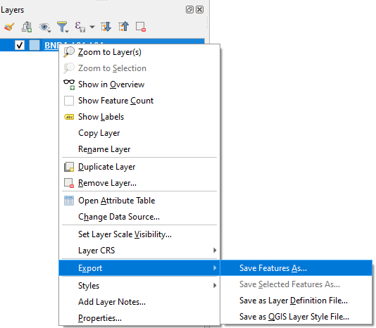
9. Save the layer in the GeoPackage Format with the name accesstowater.gpkg (use  to browse to the folder where you want to store the GeoPackage). For Layer name type country_boundaries. Keep the rest as default and click OK.

Now the layer form the GeoPackage is added to the map canvas with a random fill color. Don't worry, we're going to improve the map soon.
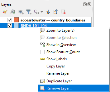
10. Remove the BNDA_L01-L04 layer bij right-clicking and choosing Remove Layer... from the context menu.
In the next step we'll add the necessary open data for our project.