Tutorial Cartography for Map Figures in Academic Journals & Books
3. Hands On
3.4. Setting Up Your Map Project: Assemble all the data
-
Open QGIS Desktop and start a new project.
-
Load in the data in QGIS - Lake Monsters, Lakes, Admin 1 boundaries (states). All of the data we're working with today is vector data.
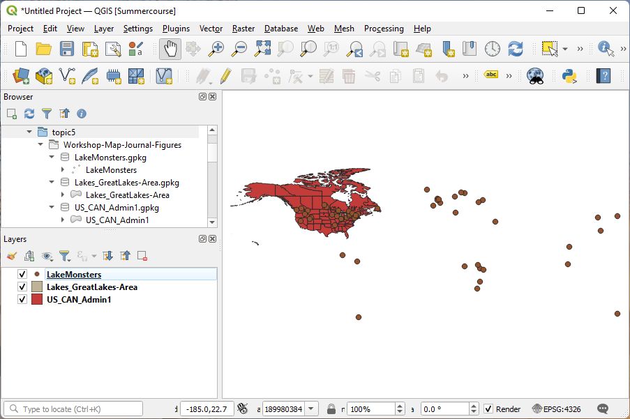
Note that the colors of the data are selected at random, so your data will probably look different.
-
Save your project file.
-
Set your project's projection to North America Albers Equal Area Conic (ESRI: 102008). I'm using the first transformation it offers me because that one is most appropriate for the area we'll be mapping today.
Save the project again.