Tutorial: Open Data for Precision Agriculture
2. Find your study area with coordinates
Let's first find our study area.
You have the following coordinate:
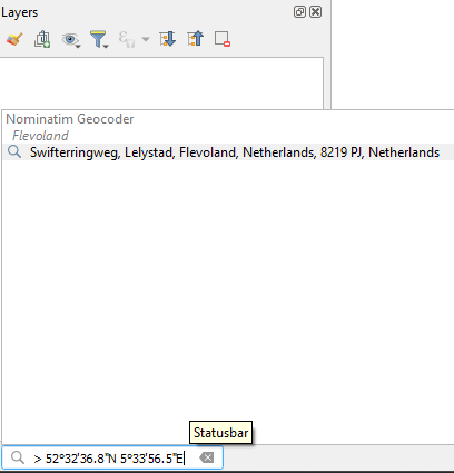
52°32'36.8"N, 5°33'56.5"E
1. Start QGIS Desktop with a new project.
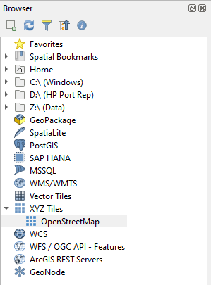
2. Go to the Browser panel. Expand the XYZ Tiles section and drag the OpenStreetMap layer to the map canvas.
3. In the Locator bar at the bottom left, type > and a space. Then paste the coordinates mentioned above.
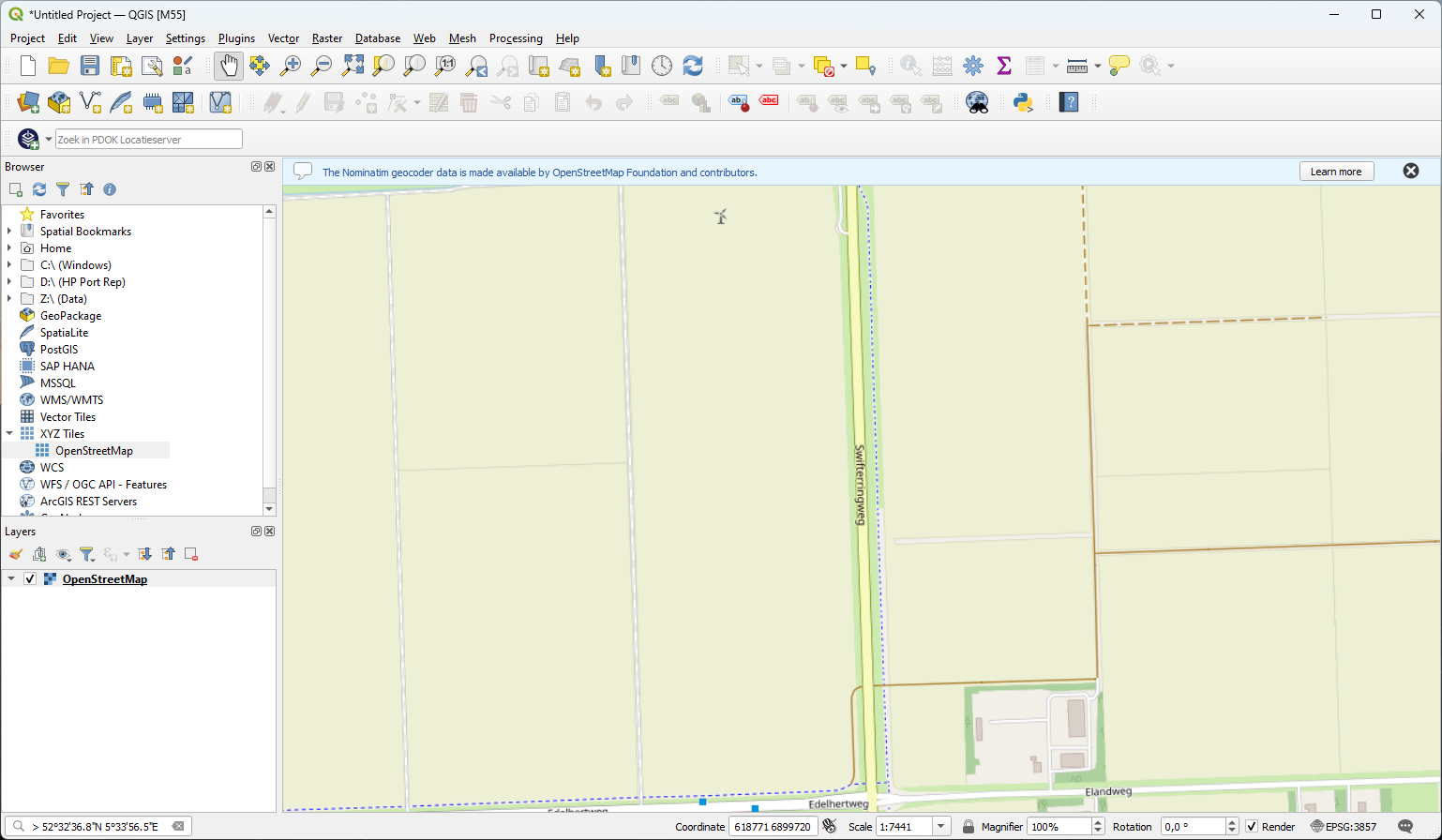
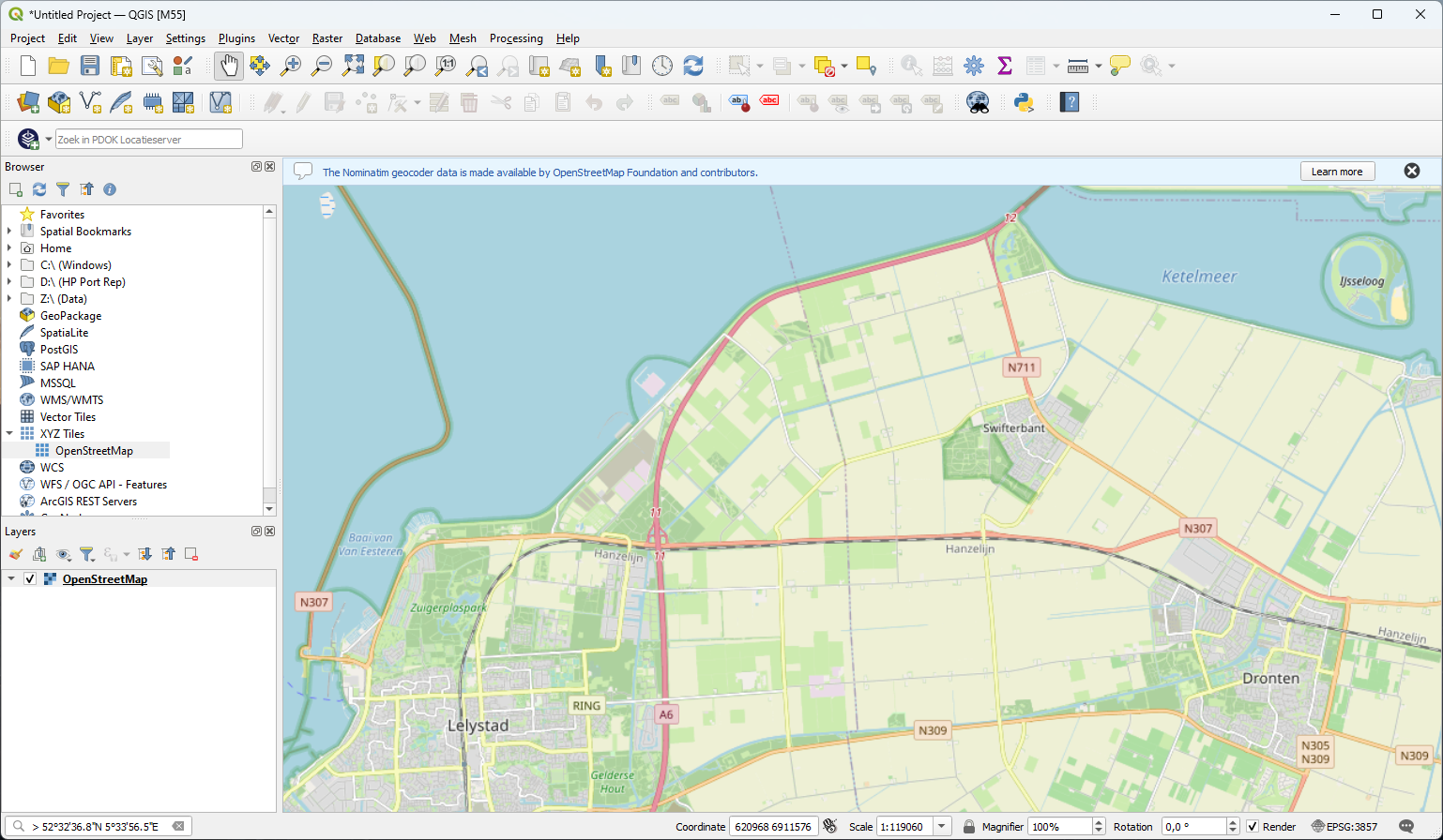
5. Zoom a bit out so we have more context, before we're going to add open data for this area in the next sections.
We can create a Spatial Bookmark that we can use to find this extent back easily later.
6. In the Toolbar click the New Spatial Bookmark icon 
7. In the Bookmark Editor, type a Name for the name of the bookmark and a Group name to organise the bookmarks in groups:
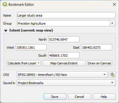
We use the Map Canvas Extent here.
You can choose to save the bookmark in your project. Then it's only available in the current project. You can also choose to save the bookmark as a User Bookmark, so it's available for all projects, because it's stored in your profile.
8. Click Save.
Let's try if this works.
9. Zoom in or out to change the extent. You can also pan to another area.
10. In the Browser panel, expand the folder Spatial Bookmarks and double-click the Larger study area bookmark.
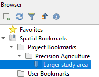
Now you're back at the defined extent.