Tutorial: Open Data for Precision Agriculture
9. Add soil data
Soil maps also provide important information for agricultural applications. Let's load one through the PDOK Services plugin.
1. Go to the PDOK Services plugin dialog and add the Bodemvlakken layer, which is only available in WMS format.
2. Duplicate the parcels layer: right-click on the layer name in the Layers panel and choose Duplicate Layer from the context menu.
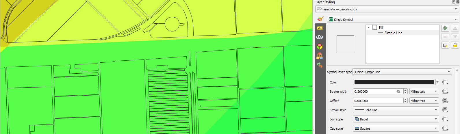
3. Hide the parcels layer and in the Layer Styling panel make sure that the parcels copy layer is active.
4. Change the renderer back to Single Symbol.
5. Click Simple Fill and change the subrenderer to Outline: Simple Line. Make sure there's now a thin black line around the parcels.
Now you can check the soil types.
- Which soil classes are in the study area?