Tutorial: Create a field data collection app with Mergin Maps
5. Add online background layers
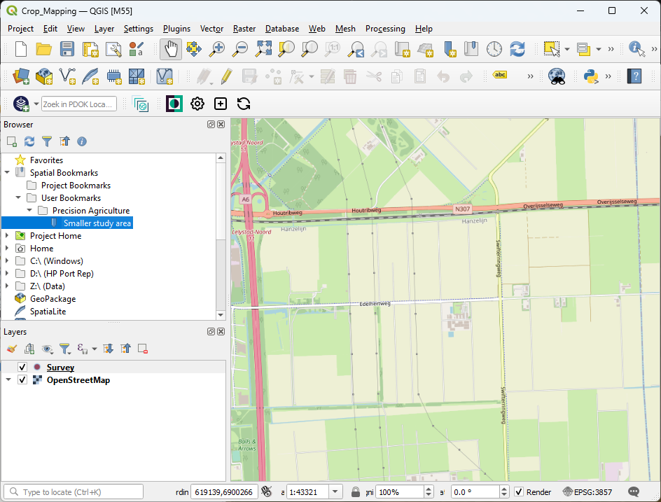
For our crop mapping survey it's useful to add some layers to orient ourselves.
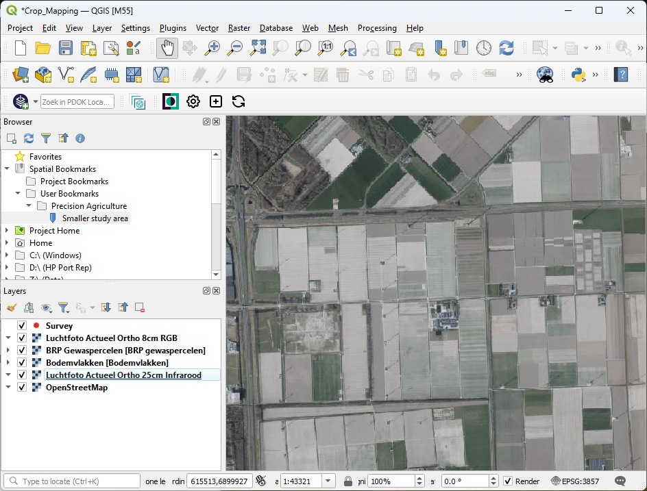
We're going to add from the PDOK Services plugin:
- Aerial photograph RGB: Luchtfoto Actueel Ortho 8cm RGB (WMTS)
- Aerial photograph Infrared: Luchtfoto Actueel Ortho 25cm Infrarood (WMTS)
- Soil map: Bodemvlakken (WMS)
- Parcels: BRP Gewaspercelen (WMS)
We're using WMS/WMTS layers, because we're only visualising the layers as a backdrop. We don't need the raster (WCS) or vector (WFS) data.
1. In the Browser panel go to your Spatial Bookmarks that we've created in a previous tutorial and double click Smaller study area to zoom to the extent of our interest.
2. Add the above mentioned layers from the PDOK Services plugin as you've learned in a previous tutorial.
3. Drag the Survey layer to the top.
These layers are online, so when use them in the field, we need an internet connection.
In the next section, we'll convert an online layer to an offline layer.