Tutorial: Create a field data collection app with Mergin Maps
9. Setup the Project Properties
Now the survey layers have been defined, we need to change some settings in the Project Properties to indicate that these layers are survey layers. We can also set there the spatial extent of the project and some synchronisation options.
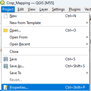
1. In the main menu go to Project | Properties....
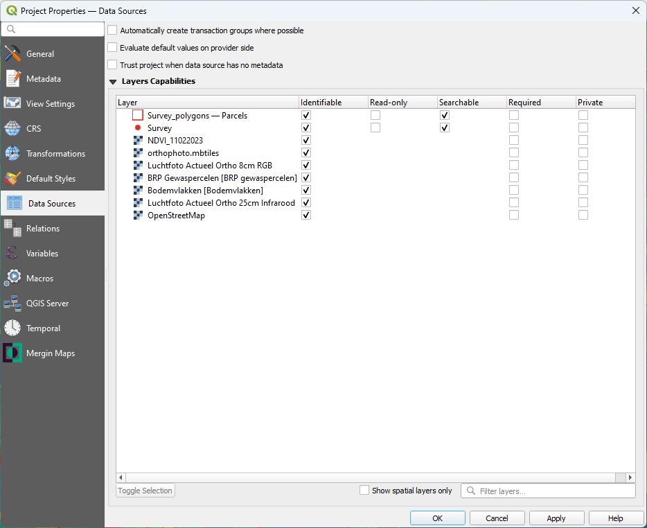
2. Go to the Data Sources tab. There you have to make sure that the survey layers are not set to Read-only. Layers set to Read-only can not be edited in the field and will be visible as background layers.
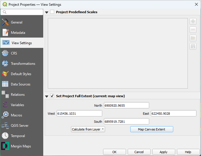
3. Next go to the View Settings tab.
Here you can set the spatial extent of the project. That will determine the extent when you zoom to full extent.
4. Check the box to Set Project Full Extent. And choose the Map Canvas Extent (make sure you're still zoomed in to the extent of the Smaller study area).
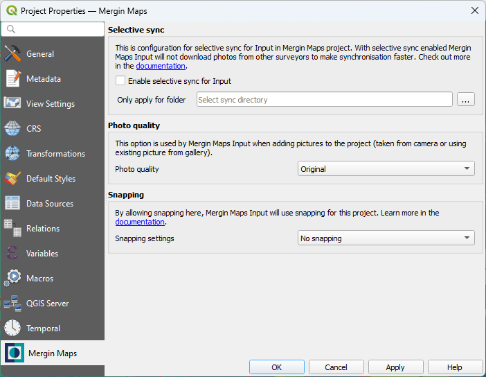
5. Finally, you can go to the Mergin Maps tab.
We'll not change anything here. However, if you have limited space on your phone or bandwidth is a challenge, you can enable Selective sync here or reduce the size of pictures.
6. Click OK to apply the settings and close the dialog.