छोड़ कर मुख्य सामग्री पर जाएं
OCWGIS
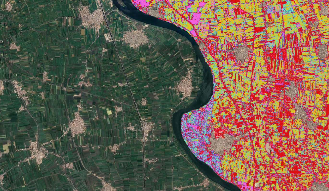
Land-Cover Mapping with QGIS
0%
Focus Mode is ON. Click ‘X’ at right bottom to close it.
Previous
Course data
Introduction
Field Data Collection
Tutorial: Create a field data collection app with QGIS and Mergin Maps
Remote Sensing Image Classification
Tutorial: Remote Sensing Image Classification with QGIS
SCP Plugin Beta
Data for tutorial
Next
OCWGIS
साइड तालिका
[[coursecategories]]
All categories
Courses in English
Cours en français
Cursos en español
Courses in Japanese
Curso em Português-BR
Cursussen in het Nederlands
मुख्य पेज
हिंदी (hi)
English (en)
Español - Internacional (es)
Français (fr)
Italiano (it)
Nederlands (nl)
Português - Portugal (pt)
العربية (ar)
فارسی (fa)
हिंदी (hi)
日本語 (ja)
简体中文 (zh_cn)
लॉग इन करें
यूज़रनेम
यूज़रनेम
पासवर्ड
पासवर्ड
Forgot your password?
लॉग इन करें
Or login using your account
OCWGIS
[[coursecategories]]
संक्षिप्त करें
विस्तार
All categories
Courses in English
Cours en français
Cursos en español
Courses in Japanese
Curso em Português-BR
Cursussen in het Nederlands
मुख्य पेज
OCWGIS
सभी का विस्तार करें
सभी को संक्षिप्त करें
Course Menu
ओपन कोर्स इंडेक्स
कोर्स जानकारी
Land-Cover Mapping with QGIS
Skill Level
:
Beginner