Tutorial: WebODM
9. Viewing results in WebODM in 2D
9.2. Add vector data
We can also add vector data in GeoJSON or Shapefile format. Let's add the boundary of our area of interest.
1. Download the boundary of our area of interest: bdry.zip
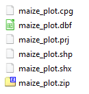
2. Extract the folder to your hard disk so you have the files belonging to the shapefile:

WebODM only accepts a zipped shapefile.
3. Zip the files of the shapefile and call it maize_plot.zip
4. Go back to WebODM in your browser and click on the  icon in the panel on the right side of the screen to add the zipped shapefile.
icon in the panel on the right side of the screen to add the zipped shapefile.5. Select the maize_plot.zip file and click Open.
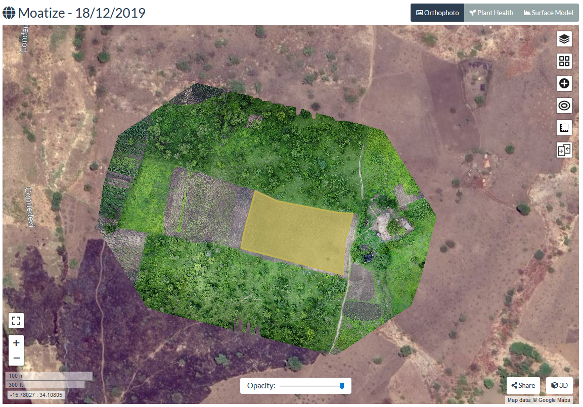
Now you will see the polygon from the shapefile as overlay on your orthophoto.