Tutorial: WebODM
Completion requirements
9. Viewing results in WebODM in 2D
9.3. Derive contour lines
It's also possible to create contour lines.
1. Click the  icon in the panel on the right side of the screen.
icon in the panel on the right side of the screen.Here you can set:
- The interval (equidistance) of the contour lines
- The layer from which it is derived. In our case we can only choose DSM, because the default processing that we used doesn't produce the DTM.
- Degree of simplification
- Output projection
2. Keep the defaults and click Preview.
After some time this result will appear:
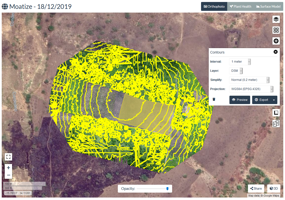
- What can you tell about the shape of our field of interest?
You can export the results to different formats:
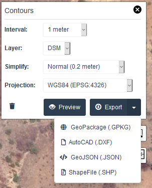
3. Save the contours as a GeoPackage and keep it for later when we're going to work with QGIS.
4. Click the  icon to remove the preview.
icon to remove the preview.