Tutorial: WebODM
14. Compare results in QGIS
Now we've processed the images of 2019 and of 2020 we can compare the results in QGIS.
1. Start QGIS Desktop
2. Open the project that you have saved in section 12.2
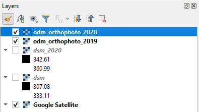
3. Add the DSM and orthophoto of 2020 to the project
4. Compare the 2 orthophotos and DSM's.
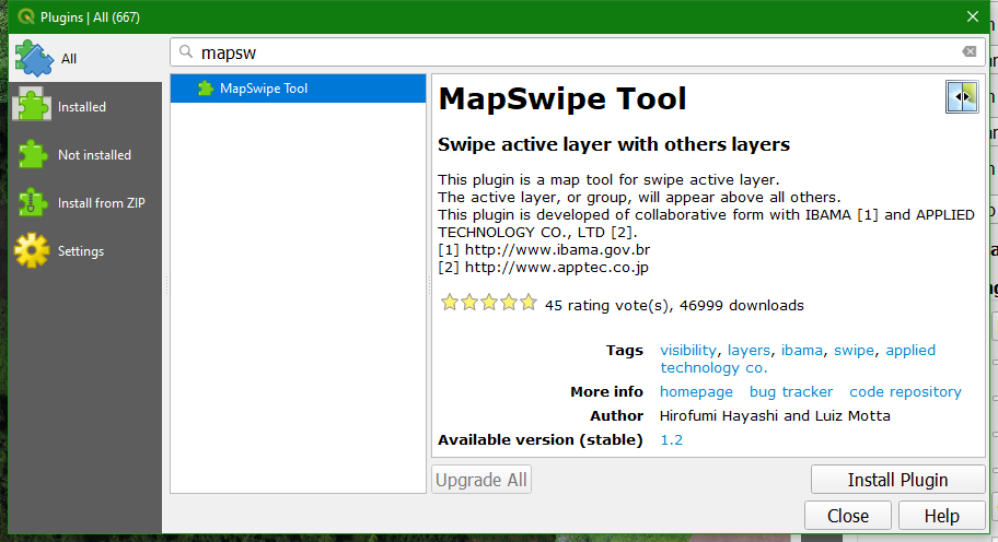
To make the comparison easier, we're going to install the MapSwipe Tool plugin.
5. In the main menu go to Plugins | Manage and install plugins...
6. Install the MapSwipe Tool plugin
7. Make sure that the orthophotos are on top of the layers list. You can rename them in such a way that you can see to which year they belong.
8. Select the orthophoto of 2020
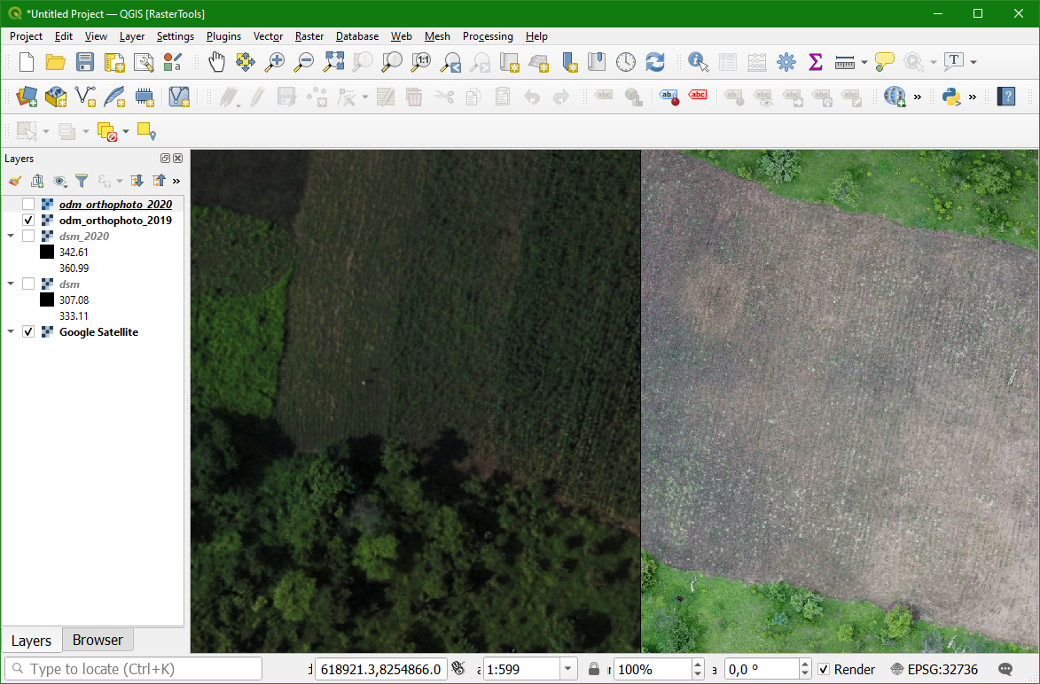
9. Click on the  icon in the toolbar to activate the MapSwipe Tool plugin.
10. Click in the map canvas and drag the mouse from left to right or from up to down.
- Describe the differences