Tutorial - crop monitoring using vegetation indices
Completion requirements
This tutorial takes you through different steps from extracting different vegetation indices from RGB drone images in WebODM to further analysis in QGIS.
3. Vegetation Indices in WebODM
3.2. Import Maize field boundary
1. Import shapefile to WebODM
In webODM, it is possible to import the shapefile representing a boundary which will help us in focused analysis. In this case let us import the maize boundary which we will will further analyse in QGIS as well.
To import the shapfile:
- Prepare a zip file with the shape file(s) of the Maize boundary. You can download it from here.
- Upload the zip file using the
 icon on the right side of the interface
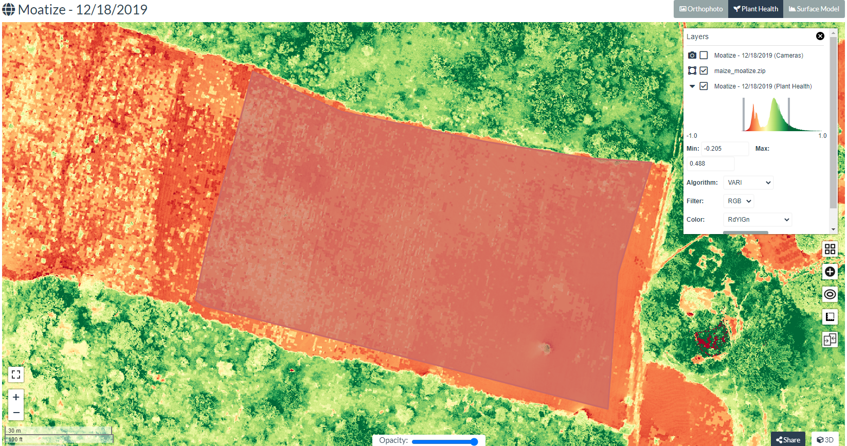
The below screenshot shows imported maize boundary over VARI.
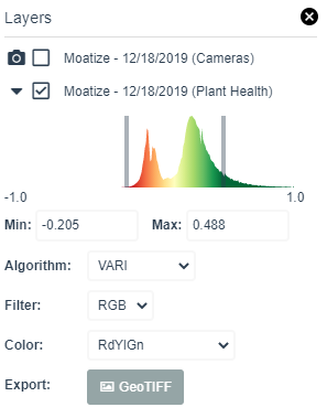
2. Download the vegetation index - VARI as GeoTIFF, for further analysis in QGIS
Click on the Export: ![]() button in the layer manager to save as geotiff into your local drive. Note the folder where you are saving the geotiff file.
button in the layer manager to save as geotiff into your local drive. Note the folder where you are saving the geotiff file.
- Generate the two other indices EXG and GLI for the date 18/12/2019
- Download these two indices as geotiff files