Tutorial: Interpolate Point Clouds to Rasters
4. Interpolate with TIN
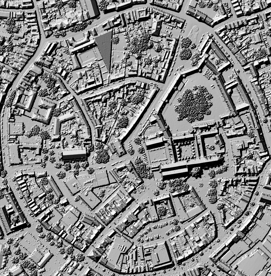
In this chapter we're going to apply another interpolation method: Triangulated Irregular Network (TIN). It is a method of representing a continuous surface, such as terrain, using a network of non-overlapping triangles. The vertices of these triangles are the points in the point cloud. The triangles are then interpolated to a raster.
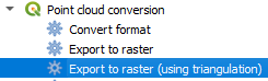
1. In the Processing Toolbox panel go to Point cloud conversion | Export to raster (using triangulation).
2. Choose the point cloud as the Input layer, e.g. middelburg_center. Change the Resolution of the density raster to 0.5 m. Keep the Tile size for parallel runs at 1000 m. Note that you don't need to select the Z field as attribute. This will be automatically used. Use DSM_TIN05m.tif as output file name.

3. Click Run. Click Close after processing.
Note that this interpolation method is slower than IDW. On my computer it took 6 minutes.
4. Inspect the result.
In the next chapter, we'll compare the results.