Rooftop analysis
Completion requirements
3. Data preparation
3.1. Download point cloud data
You can use your own point cloud dataset or download one or more tiles from GeoTiles.nl.
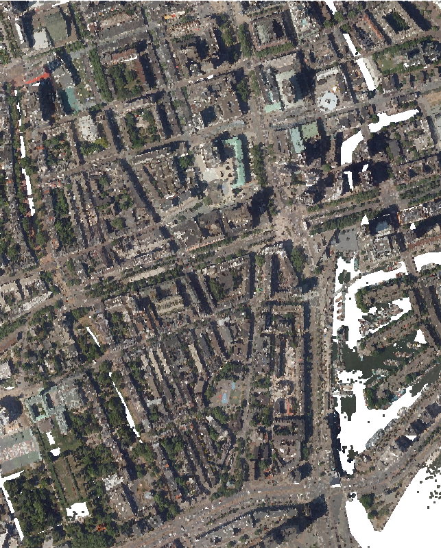
In the examples the center a LAZ tile (37HN1_03) of Rotterdam, the Netherlands was used.
- Load the point cloud data in QGIS
- Wait until the COPC file is created
- Use the Point cloud data management tools in the Processing Toolbox to preprocess your data for your area of interest (for example Merge and Clip tools). The use of these tools is covered in another tutorial.
Now that we have the data, we can start processing.