
Tutorial: Calculate Drainage Density
2. Calculate catchment area
The first step is to calculate the catchment area. We'll use the data provided with this tutorial.
1.Open QGIS Desktop.
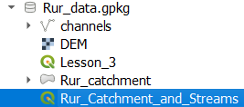
2. In the Browser panel, navigate to the GeoPackage provided with this tutorial: Rur_data.gpkg
3. Expand the GeoPackage and double click on the project Rur_Catchment_and_Streams to open it.
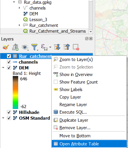
4. In the Layers panel, right click on the Rur_catchment polygon layer and choose Open Attribute Table from the context menu.
5. Click  top open the Field Calculator.
6. In the type CatchArea for the Output field name, choose Decimal number (real) for the Output field type and in the middle panel with functions, expand Geometry and double click on $area to add it to the expression.
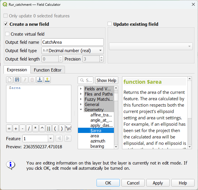
7. Click OK to apply and close the dialog.
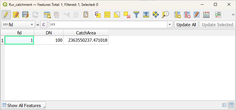
8. Check the result.
The CatchArea field has the surface area of the catchment in map units, i.e. meters.
9. Click  to save the edits and toggle off editing mode.
10. Close the attribute table.
In the next chapter, we'll calculate the total length of the stream network.