
Tutorial: Editing Point Clouds
Completion requirements
4. Constraining the Selection of Points
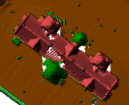
An important note is that when selecting points as shown above, all the points behind the tower will also be reclassified. So you often need to constrain the selection in some way. In this example, you only want to select tower points. One way to do this is to constrain the 3D view extent.
1. To do this open the Settings of your 3D view by clicking on the Settings button ![]() .
.
- Switch to the General tab where you can set the extent of the 3D view.
- In your 2D map canvas, zoom into the building.
- Click the option in 3D View Settings to Draw on Canvas, and trace a box around the misclassifed tower.
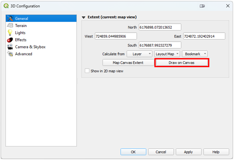
- Your 3D View will now be constrained to that area making it easier to select just the tower points.
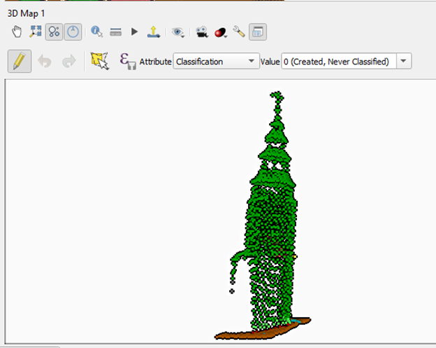
2. The goal is to successfully reclassify the tower points to building. When you are finished editing, Toggle out of editing mode and Save your edits.
Some of this is difficult without the full selection of tools coming in QGIS v 3.44 or later. These tools are described in the next section.