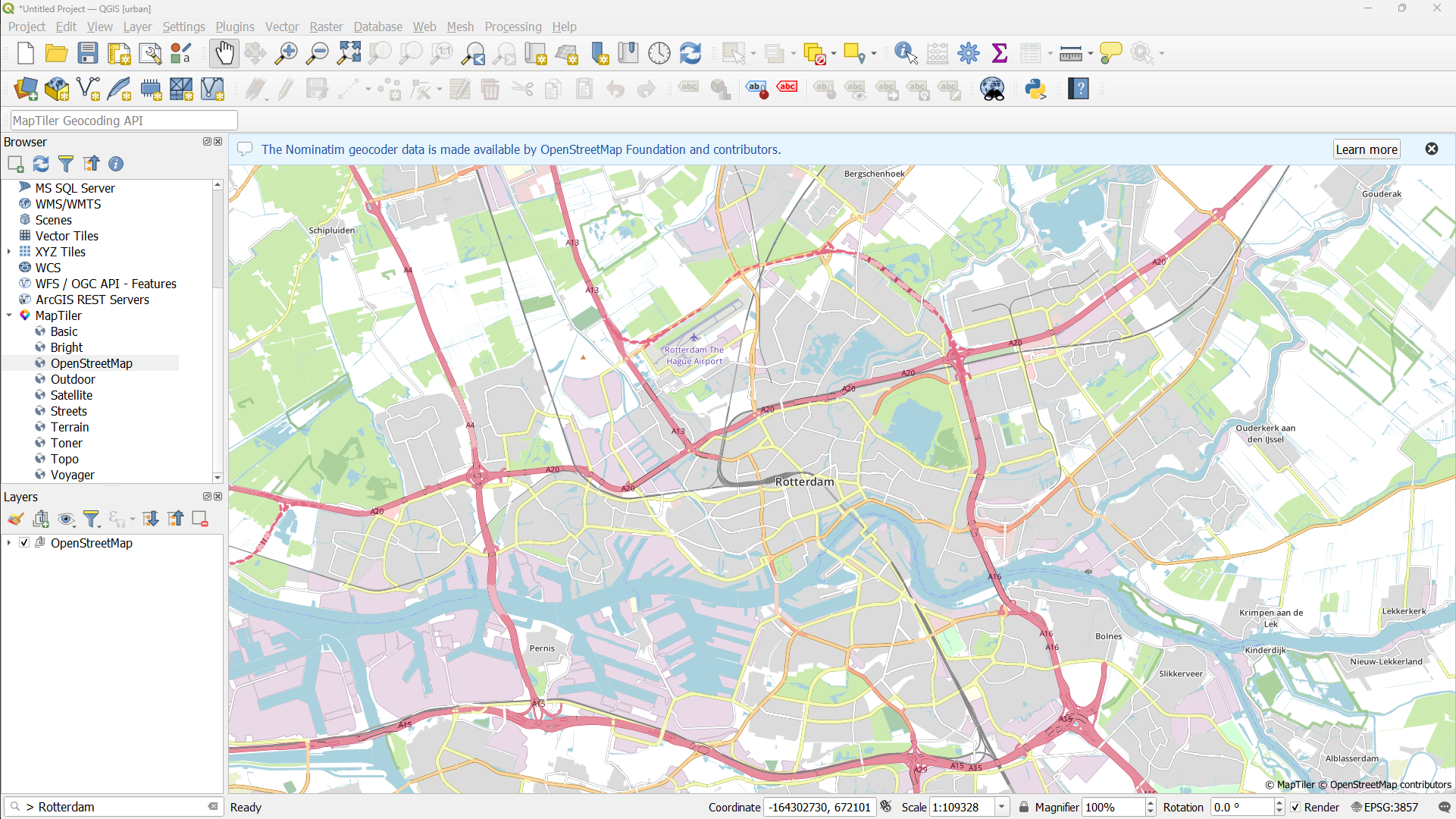
1. Now expand the MapTiler folder in the Browser panel by clicking the little arrow.
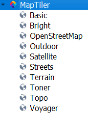
2. Now we can add the the OpenStreetMap vector tile layers by clicking right and selecting Add as Vector from the context menu.

When there's an warning at the top of your screen, click the cross to remove the message.
Now we need to find Rotterdam. We'll use the built-in geocoder of QGIS, which uses the Nominatim database from OpenStreetMap.
3. In the Locator bar type
> Rotterdam
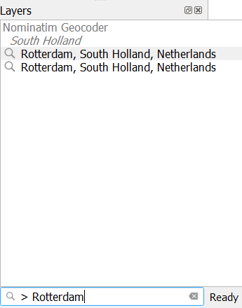
4. Double-click one of the options and you'll automatically zoom to the area.