
1. In the Layers panel, expand the OpenStreetMap group by clicking the little arrow.

2. Click on the OpenMapTiles layer to select it.
3. Click the  icon to open the Layer Styling panel.
The map has too much detail. We'll hide elements that we don't want to see.
4. At the Symbology tab, experiment with unchecking points, lines and polygons to see what's in the city and what you want to visualise.
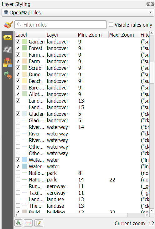
5. If you click on a symbol, you can change it's properties, for example colour or line thickness.
Note that visibility is also controlled by the zoom level, which you can edit here.
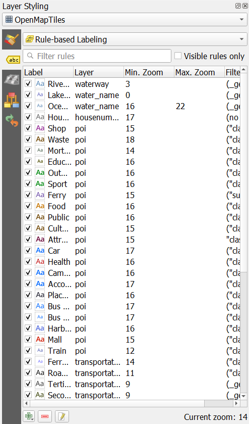
You can also control the labels.
6. Go to the Labels tab and uncheck labels that you want to hide. If you click on a label you can change its properties.
Feel free to explore the other MapTiler vector tiles. There are even more available if you right-click on MapTiler and choose Add a new map... from the context menu.
You could try the NL ones here:
