
In this chapter we'll add a false colour aerial photograph to our project. In the image, the near infrared band is visualized in red, which makes it easy to find areas with healthy vegetation. The image is available from the PDOK Services plugin.
1. Click  to open the PDOK Services plugin dialog.
2. Search for Luchtfoto Actueel Ortho 25cm Infrarood. This is a WMTS layer, which means it is a WMS layer in tiles, which is useful for visualization only.
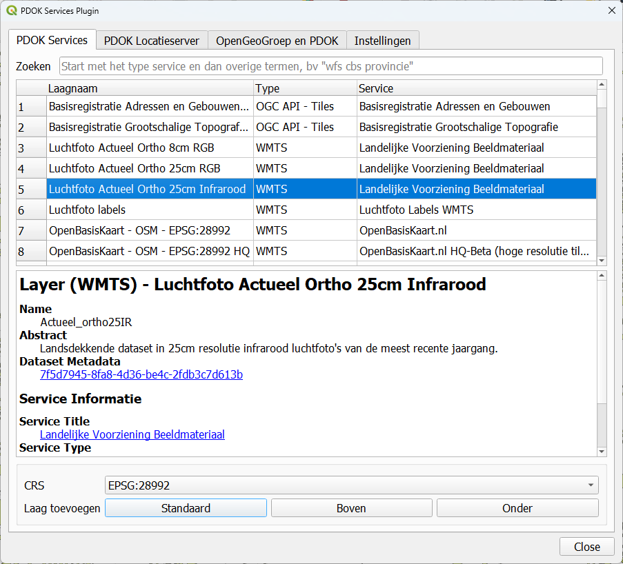
3. Click Boven to add the layer to the top of the Layers panel.
