
Prepare a basemap
8. Add a land-use map
Here we'll add the land-use map of the Netherlands: LGN 2022 (https://doi.org/10.4121/688363cc-8c79-439f-bb0e-fe5d0deb3161). For global datasets, see here.
LGN data can be downloaded here, but you can best download it from the main course page, because for QGIS 3.34 the style files do not work (bug) and another file is provided. The provided file is also clipped to the boundary of the municipality of Rotterdam, to reduce its file size.
1. Download the data from the main course page. Make sure that you unzip the folder in your project folder before use.
2. Locate the LGN2022_Rotterdam.tif file in the Browser panel and drag the layer to the map canvas.
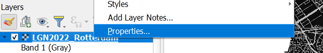
3. In the Layers panel, right-click on the LGN2022_Rotterdam layer and choose Properties... from the context menu.
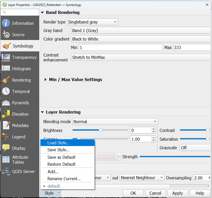
4. In the Layer Properties dialog go to the Symbology tab.
5. At the bottom of the dialog, choose Style | Load Style....
6. Use the browse  button to locate legend.qml, which is provided.
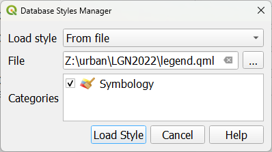
QML files are QGIS files that contain styling.
7. Click Load Style.
The classes are loaded. The names were originally in Dutch, but have been translated.
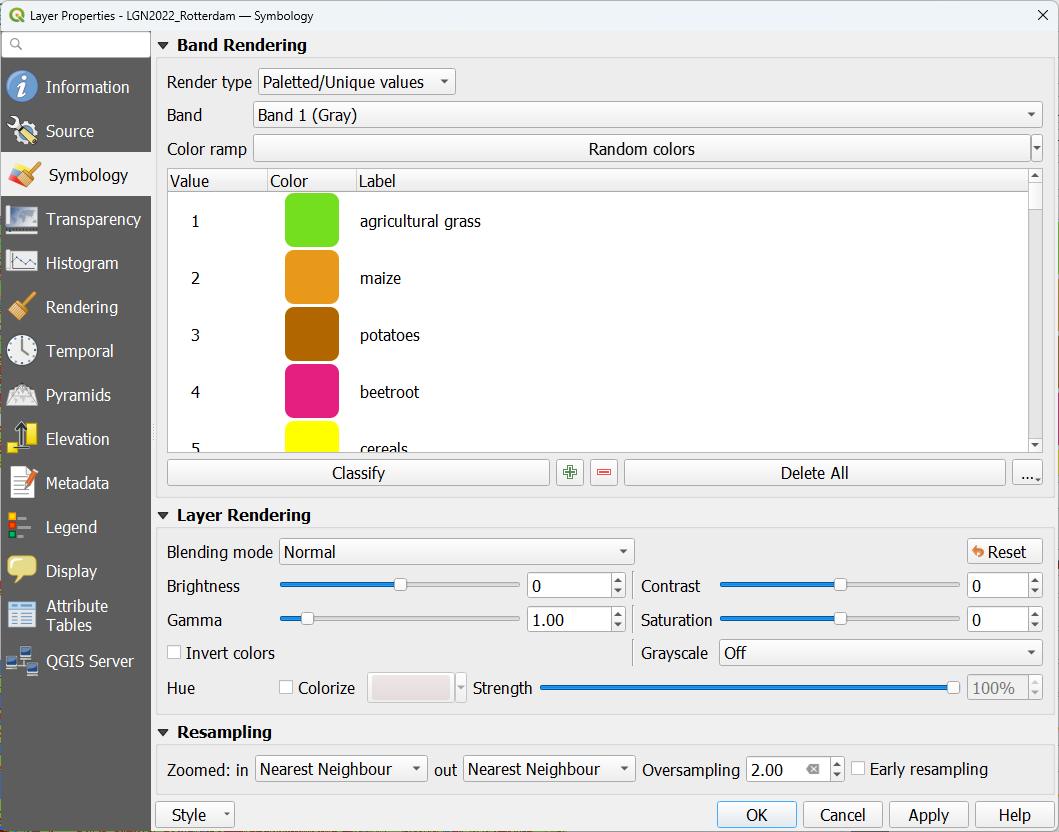
8. Click OK to close the dialog.
Have a look at the land use in Rotterdam.