
Tutorial: GIS for adaptation
2. Calculate areas and densities
2.2. Spatial join
In order to add the the neighbourhood names and areas to the building attributes we need to join the attribute tables.
In this case, there's no common key field that we can use, so we have to do a so-called spatial join. We assume that all buildings are within one neighbourhoud.
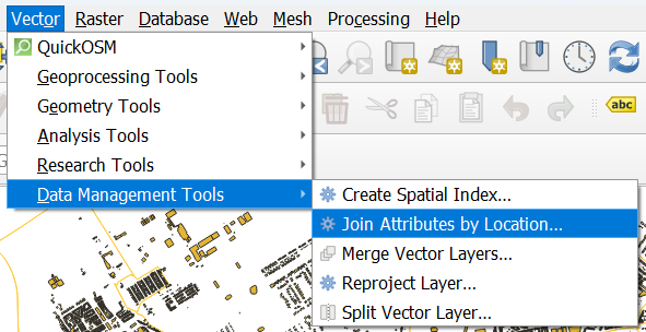
1. In the main menu, go to Vector | Data Management Tools | Join Attributes by Location....
2. Choose to Join to features in buildings that intersect with neighbourhoods.
3. Choose buurtnaam (name of the neighbourhood) and Area (m2) as fields to add.
4. For Join type, keep Create separate feature for each matching feature (one-to-many).
5. Save the result in the GeoPackage as buildings with neighbourhoods.
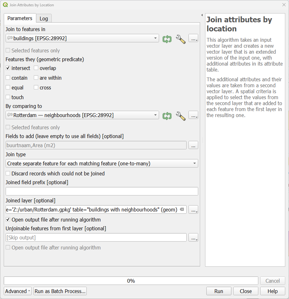
6. Click Run. Click Close when the processing is completed.
7. Check the attribute table of the buildings with neighbourhoods layer.
Next, we're going to dissolve all buildings that belong to the same neighbourhood.